
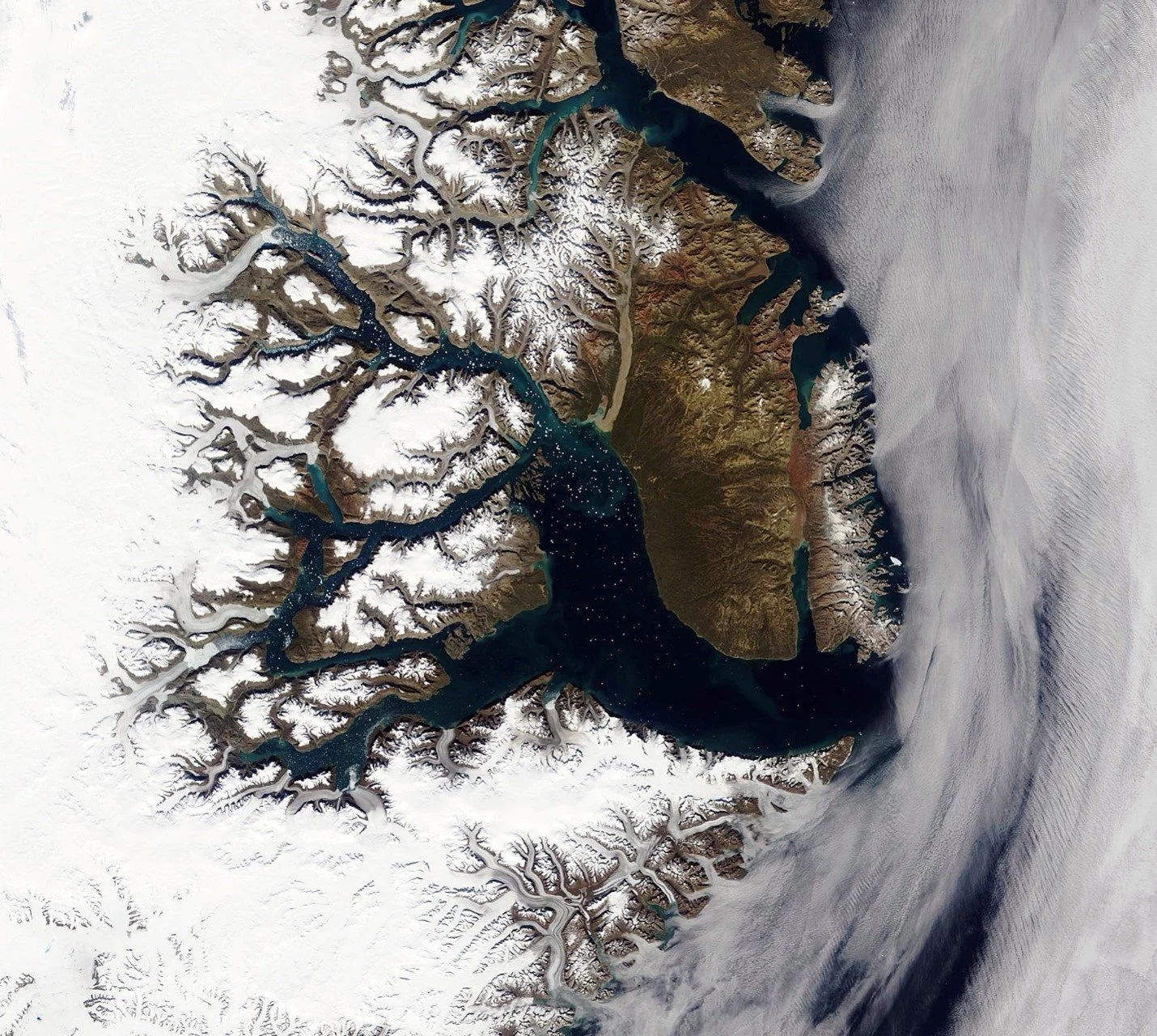
Scoresby Sound, on the east coast of Greenland, from space. You can see all the glaciers (like branches on a tree) that feed icebergs into this huge fjord system.
I first heard about Scoresby Sound before the pandemic. I have been thinking about taking a trip there for years and 2026 was finally the year I could do it. I had travelled to West Greenland (Ilulissat) in 2019 and loved photographing the massive icebergs calved from Jakobshavn Glacier. Since then I have wanted to return to Greenland, but to do something more remote, and Scoresby Sound fit the bill. It is on the much less developed east coast of Greenland, and is the largest and deepest fjord system in the world. The fjords are lined with huge, dramatic mountains and hundreds of icebergs are calved from the glaciers that feed into the fjord system. Approximately 80% of Greenland (see image below) is covered in an ice sheet, up to three-and-a-half kilometres deep. As the weight of the ice pushes the ice sheet out towards the coasts, it coalesces into ice streams/rivers or outlet glaciers which drop (or calve) chunks of ice into the ocean as icebergs. I wanted to see some of these glaciers and the huge, beautiful icebergs they produce in a dramatic and isolated landscape that very few people get to visit.
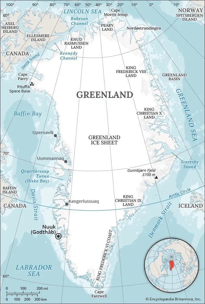
My first stop was Iceland (on the right side of the image). From there, I flew to Constable Point in Scoresby Sound (marked on the east cost of Greenland). This map shows the extent of the Greenland Ice Sheet, which covers about 80% of the island.
Day 0
Toronto - Reykjavík
After a late night (11 p.m.) flight out of Toronto, only slightly disrupted by thunderstorms, I arrived in Reykjavík early in the morning. After a long wait in line for Customs, and a bus ride into the city, I made it to my hotel, only to discover that they wouldn’t store my suitcase while I was in Greenland. The chartered flight to Greenland had a weight limit (20 kg of luggage – including photo gear and everything else) and it was recommended that we travel with a duffel bag to fit more easily into the small berths on the ship, so I needed to transfer all my stuff from my suitcase to a duffel bag (saving 4 kg) and store that suitcase somewhere. After a quick nap, I set out for the bus station to drop the suitcase off at a storage facility. It was a comfortable 10°C with bright sunshine, so I enjoyed the walk and a late lunch. I may have overdone it, though, as I had wrenched my knee and calf just that morning and the walk made it worse. I spent the rest of the day packing my duffel bag, icing my leg and getting excited about the trip.
Day 1
Reykjavík – Constable Point – Ittoqqortoormiit
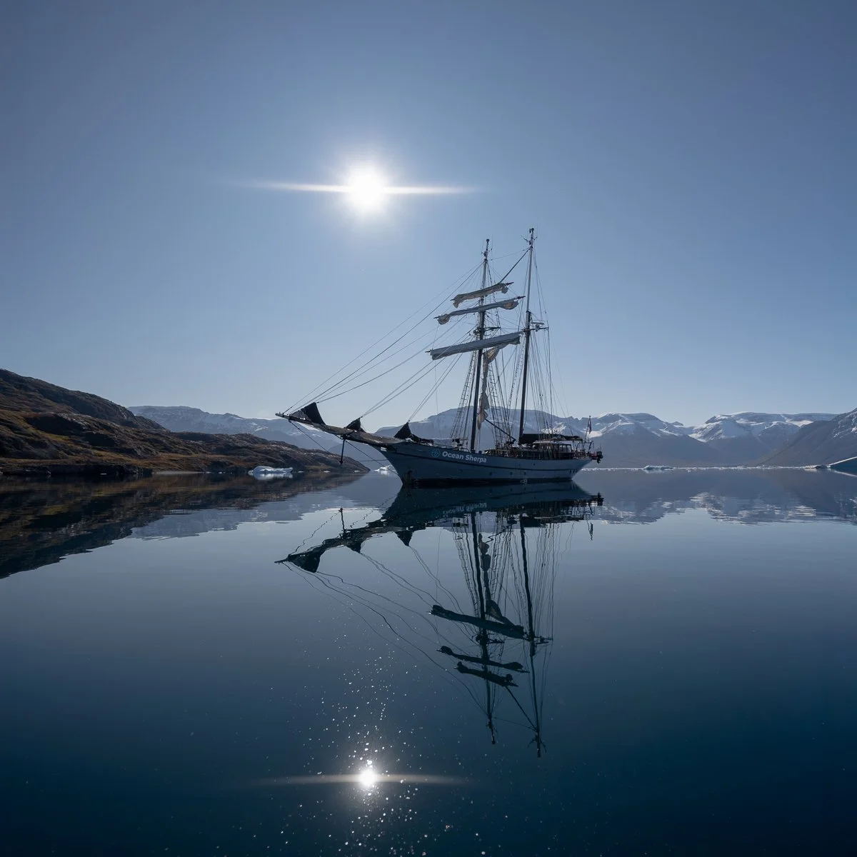
I arrived at the Reykjavík airport around 8:45am, plenty early for our 10:45am charted plane for Greenland. I was travelling with North Sailing, which had three ships going through the Sound this season: Opal, Hildur and my ship, Ocean Sherpa. The Ocean Sherpa is a 34.5 m (113 feet) topsail schooner. She sails under a Dutch flag, was built in 1957 and retrofitted with a steel hull in 2010 (allowing us to safely get through icy waters).
The flight on a chartered Icelandair Dash-8 was not long: about an hour and a half over the open ocean between Iceland and Greenland. After we landed, 32 passengers (12 on Opal, 9 on Hildur and 11 on Ocean Sherpa) gathered beside the runway at Constable Point (one of the most isolated airports in the world) while our baggage was taken down to the launch spot for the zodiacs. We then walked about 25 minutes down to the bay, escorted in the front and at the back by crew members from the ships with rifles. Polar bears only infrequently come near to the landing strip, but it is better to be safe.
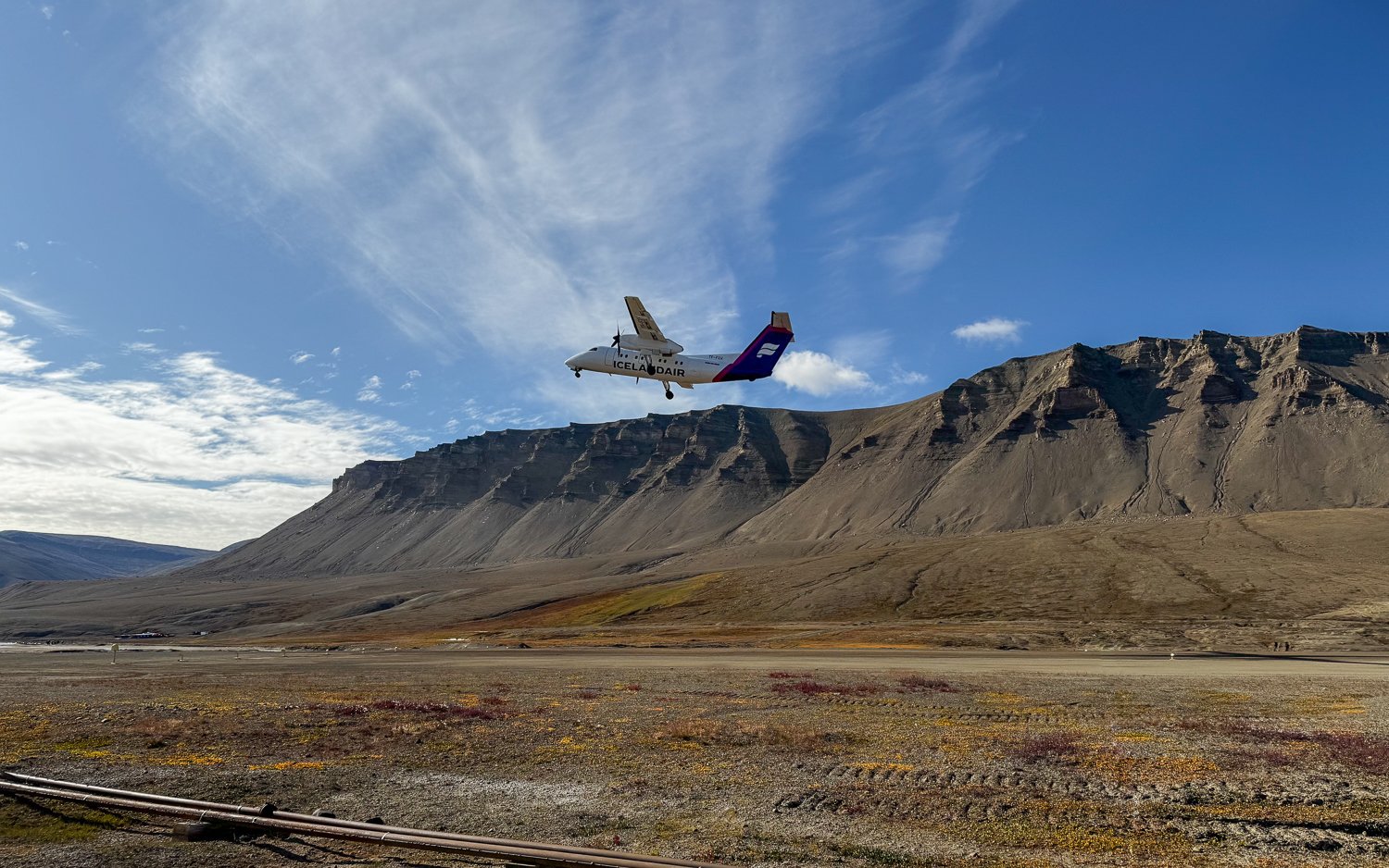
Our plane taking off to go back to Iceland.
The eleven passengers who would be travelling on Ocean Sherpa for the next eight days were mostly European, with one Canadian (me!) and two Americans. Our crew (and owners of the Ocean Sherpa) were the Blaak family: Gerlé, our captain, his wife Jacobine and their sons Levi and Ben, as well as our chef, Charlie. Everyone was very welcoming and created the lovely atmosphere that would continue for our whole voyage.
Once we arrived on the Ocean Sherpa we were able to settle in. My roommate, Elin, who is Danish, took the bottom bunk and I took the top. Climbing in and out of it in the middle of the night was a bit of an challenge, but I had the benefit of a porthole and a little extra headroom up there.
We had a lovely soup for lunch, prepared for us by our chef, Charlie. Charlie had worked at a Michelin star restaurant, so we ate very well on the trip. He made us fresh sourdough bread every day and some amazing meals, including the Arctic Char with tahini sauce we had for dinner that first night and Muskox Bourgoinion (with muskox he bought from Ittoqqortoormiit) later in the week.
We were able to put up the sails as we headed for our first anchorage – Ittoqqortoormiit – a town of around 300 people, described as one of the most isolated settlements in the world. During the summer season (only a couple of months) it is reachable by boat and helicopter, but the rest of the year, it can only be reached by dogsled or snowmobile.
We dropped anchor in Ittoqqortoormiit at around 9pm.
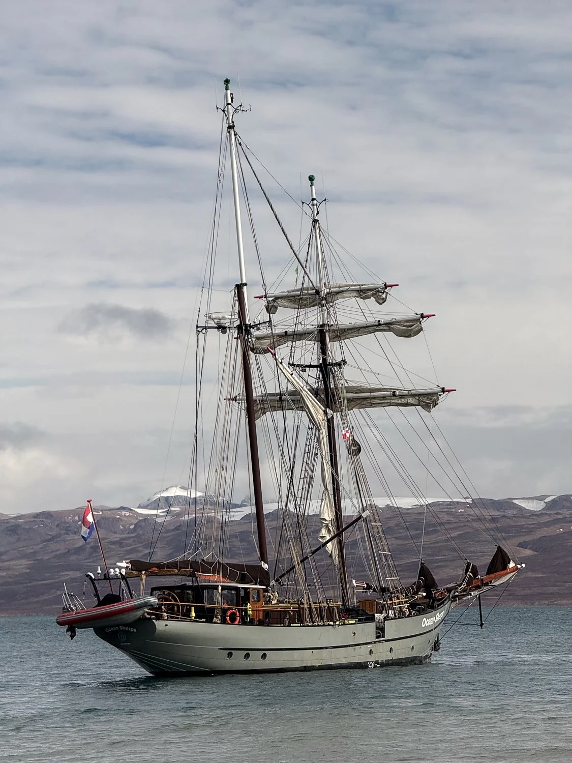
Ocean Sherpa - my home on this trip - anchored at Constable Point
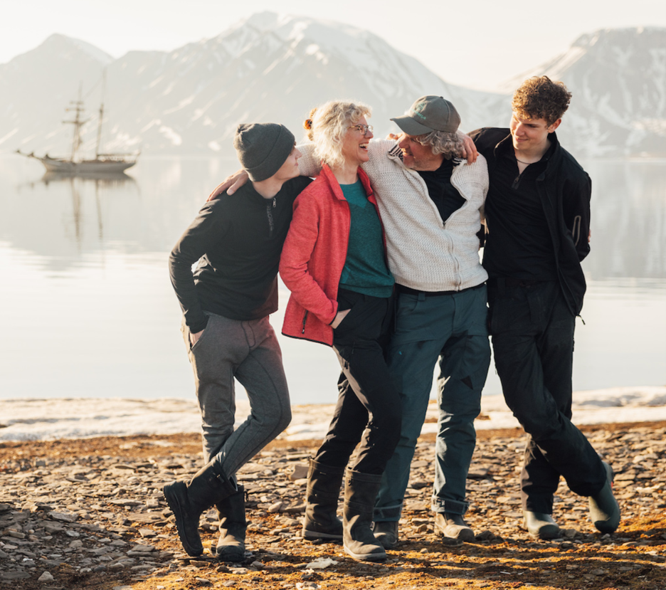
The Blaak family: Levi, Jacobine, Gerlé and Ben (image taken from the Ocean Sherpa website)
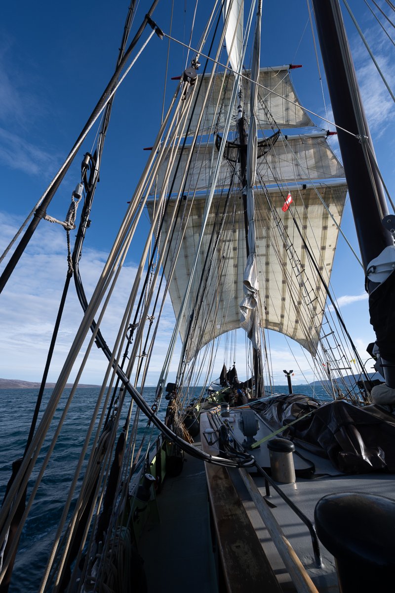
Sails up on our journey from the airport down Hurry Fjord
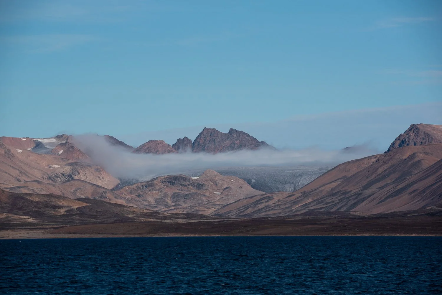
Dramatic peaks
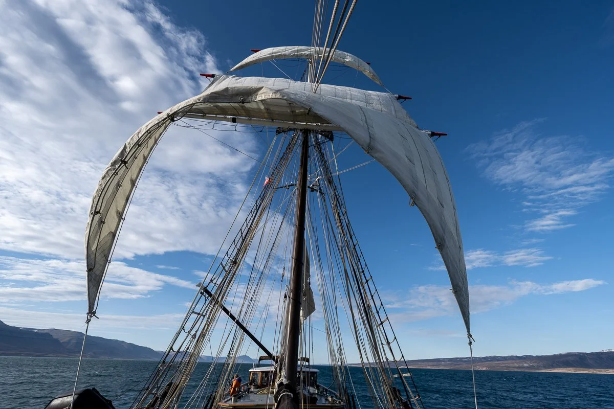
Sails Up!
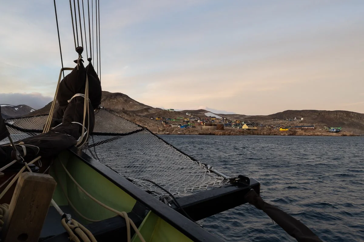
Approaching Ittoqqortoormiit - one of the most isolated settlements in the world
Day 2
Ittoqqortoormiit - Vikingebugt
The next morning most of the group went into Ittoqqortoormiit to explore. Since my knee and the leg were still sore, I decided to stay on the boat and got to see an elegant ballet as our captain, Gerlé, manoeuvred the 34 m. ship, with the help of his sons in zodiacs and his wife on the shore, up against a landing spot where a mobile fuel tank could be brought to us and a long hose extended to the ship to fill up our tanks with diesel.
We then set off for the eight-hour trip across the entrance to the Sound to our anchorage at Vikingebugt (Viking Bay). We saw our first icebergs – with many more to come – that day. At first the movement of the ship was gentle, and the breeze pleasant, but as we crossed Hurry Fjord the weather and water got a bit rougher. As Gerlé explained the direction of the winds was different to the direction of the waves coming out of the fjord north of us and together they caused a kind of corkscrew motion on the ship. A number of passengers went down with seasickness (luckily not me), as this roller coaster continued for nearly 6 hours. A bit of a rough introduction to Scoresby Sound!
Scoresby Sound is not only the largest fjord system in the world, but also the deepest, meaning that it can be tough to find anchorages shallow enough for the ship’s anchor to reach the bottom, but Vikingebugt was known as a shallow and sheltered place to spend the night. We dropped anchor there around 9:30 PM.
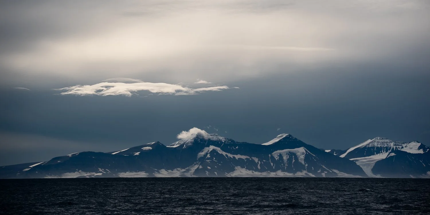
Dramatic Greenlandic mountains
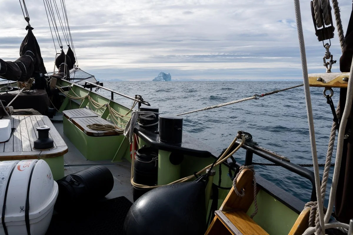
Sighting our first icebergs. Many more, and many more larger ones, would be coming!
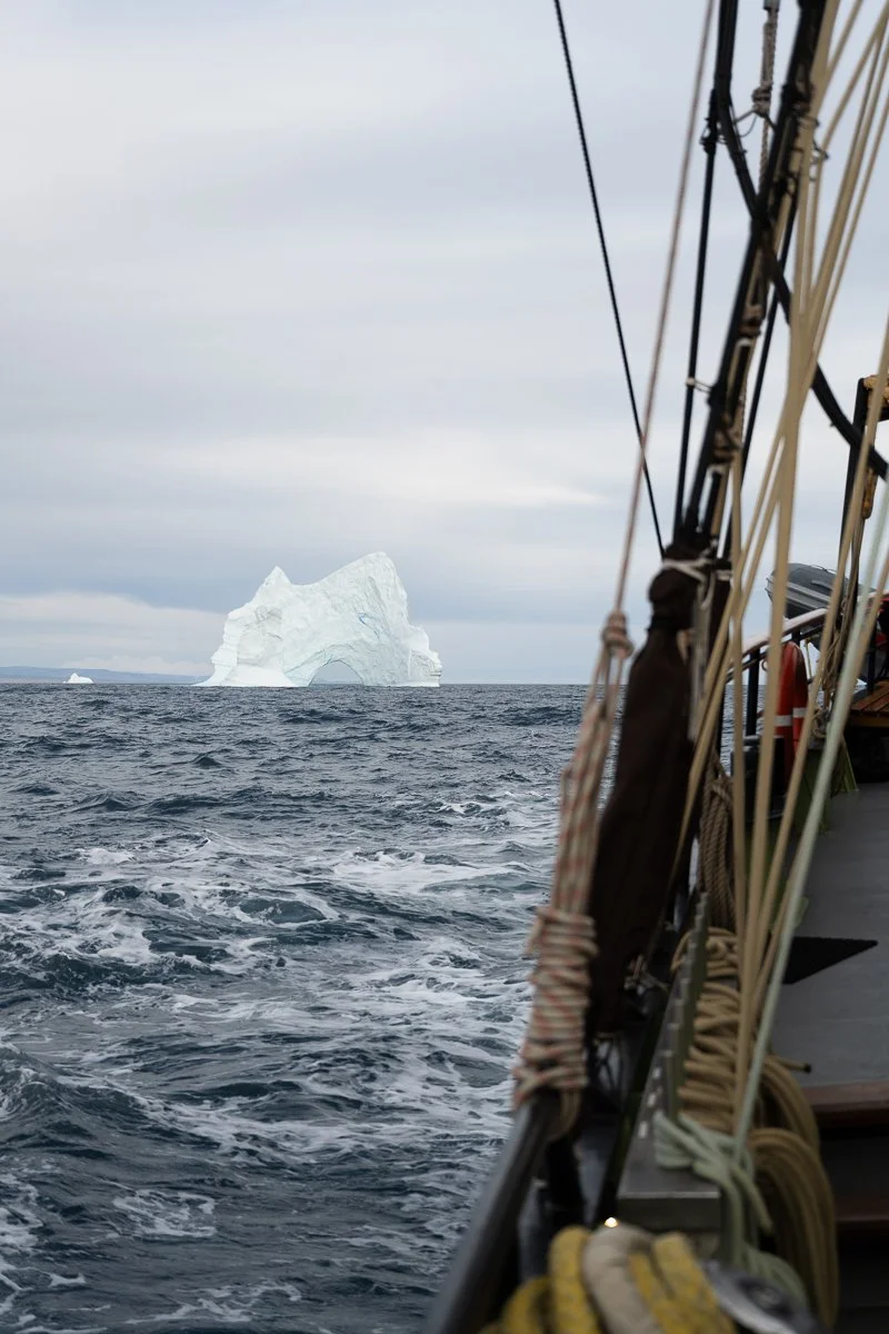
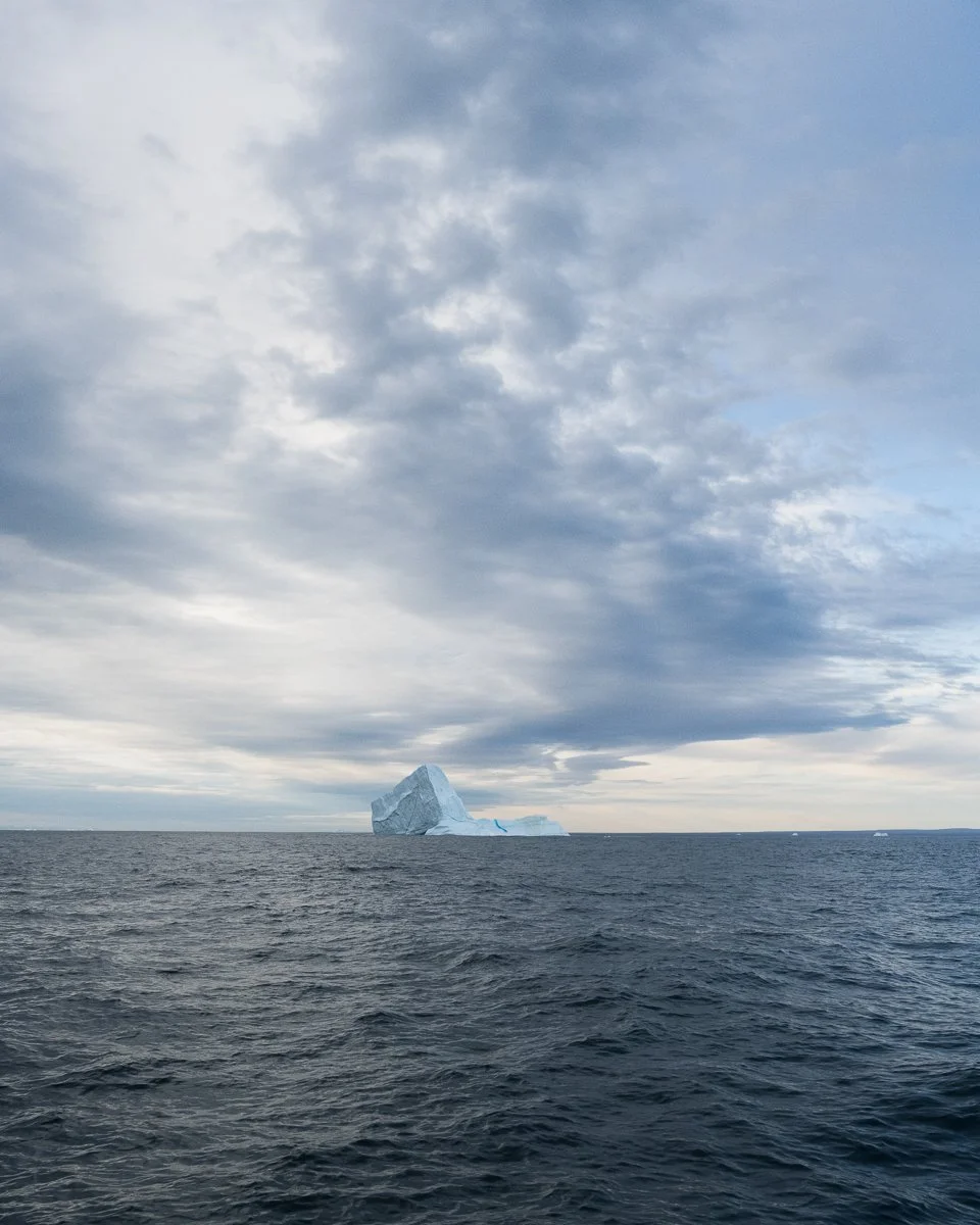
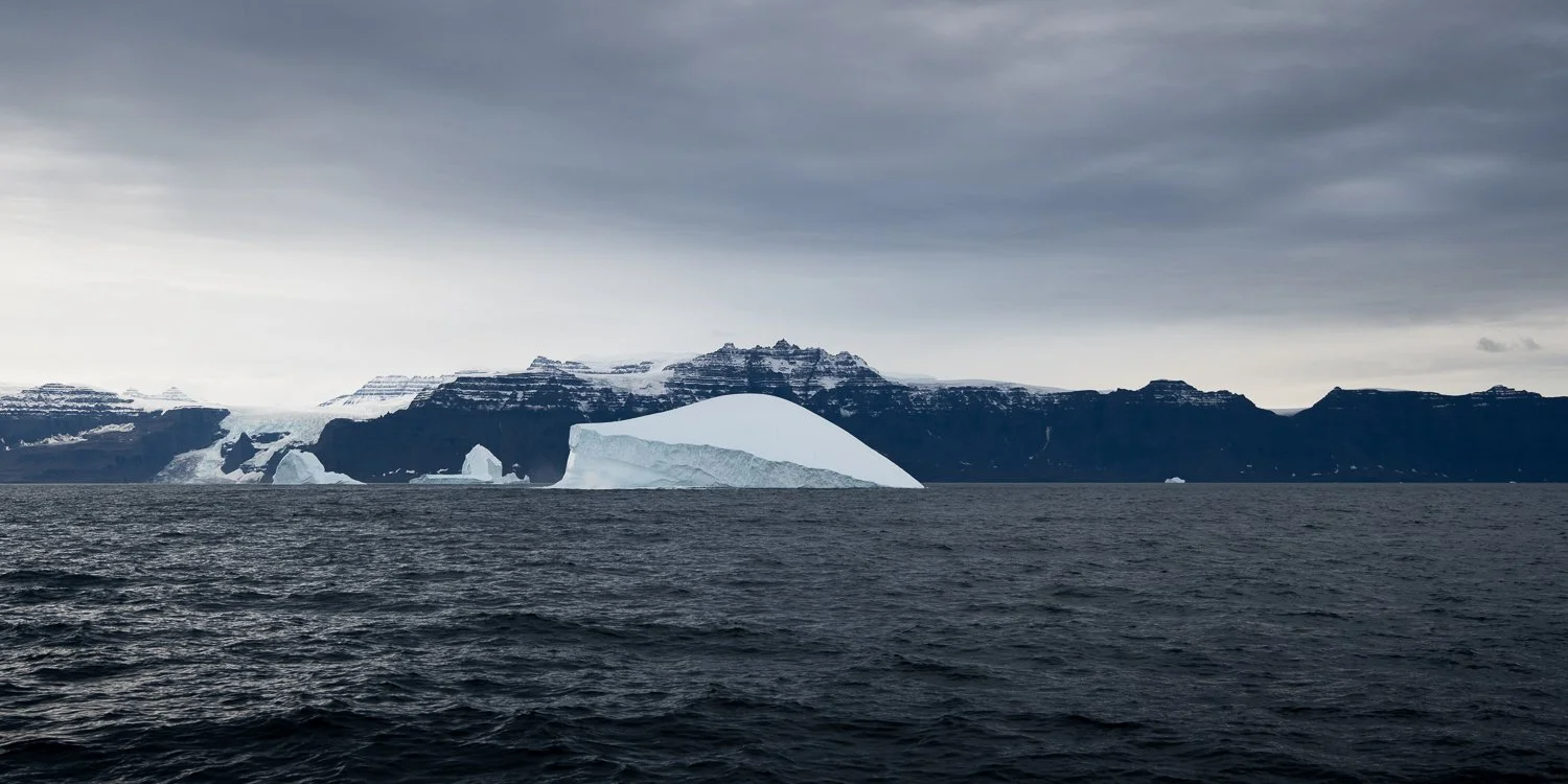
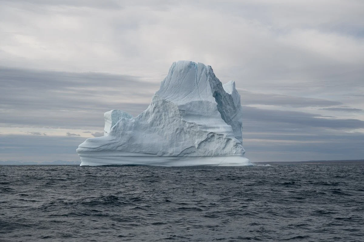
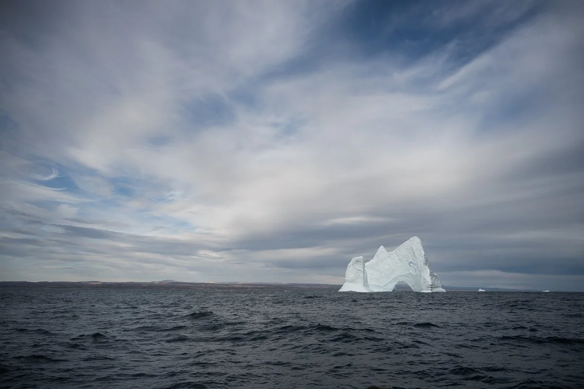
The Ocean Sherpa rolling on our crossing that day:
Day 3
Vikingebugt - Charcot Havn
The next morning, before breakfast, I flew my drone for the first time. I bought this drone just a month before the trip, practised as much as I could in Toronto but was still a little nervous about flying it - and particularly nervous about catching it on a moving boat, which is so much harder than doing so on land. In retrospect, I realized that I really couldn’t have chosen a more challenging first trip with a drone than flying from a sailing ship. When drones have nightmares, this is what they see - a swaying boat rigged with maze of hundreds of ropes! My first landing that morning was successful. Though I did clip my middle finger in the propellers, I held onto the drone! I felt encouraged!
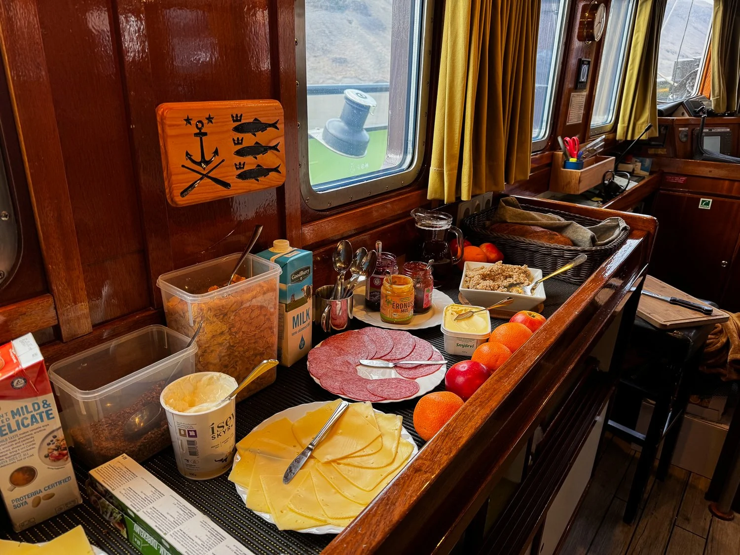
Breakfast. We always at well.
That morning we stayed in Vikingebugt because polar bears had been seen at the south end near the Brede Glacier. We found one bear high on the hillside above the glacier and then a mother and two cubs on the other side. They were pretty far from the boat – even with a 400 mm lens they were just specs in my image– but we saw them. As we moved slowly through the water in front of the glacier, we could hear the popping of the ice that the glacier had calved (it was like the sound when you drop an ice cube into a warm drink) and the crashes, like thunder, as a glacier shifted and moved high above us. It was magical.
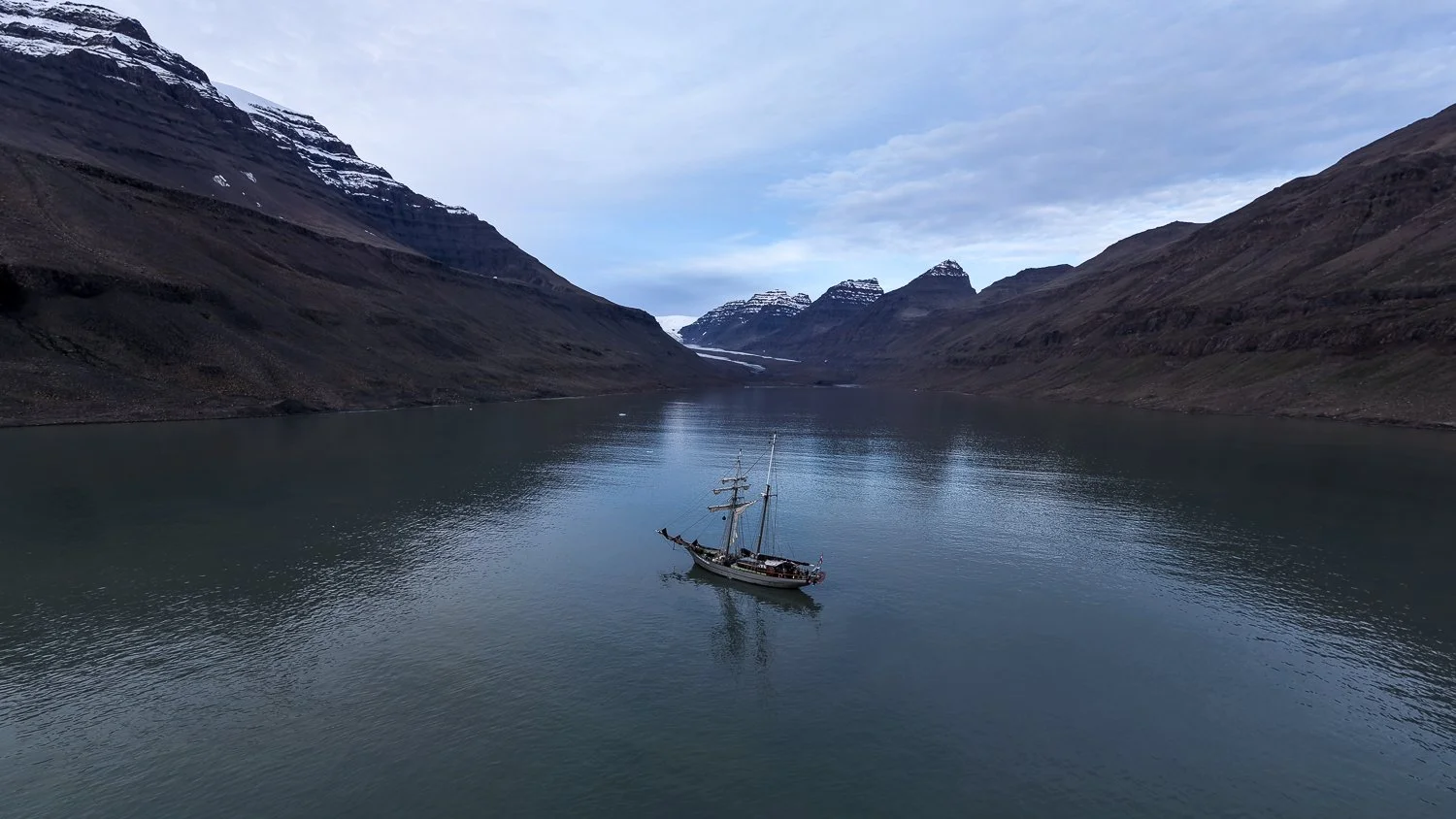
Ocean Sherpa (from the drone) in Vikingebugt the second morning of the trip.
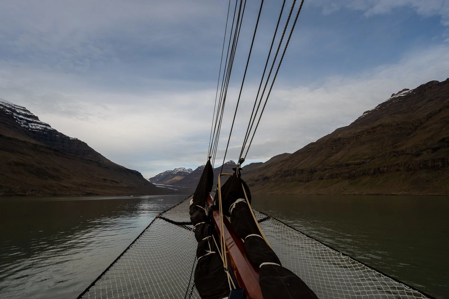
The view from the ship while anchored in Vikingebugt
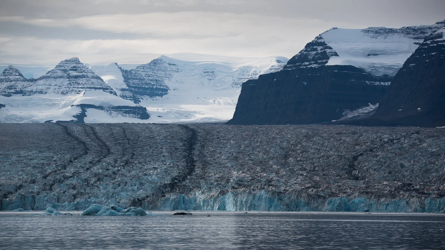
Brede Glacier at the head of Vikingebugt
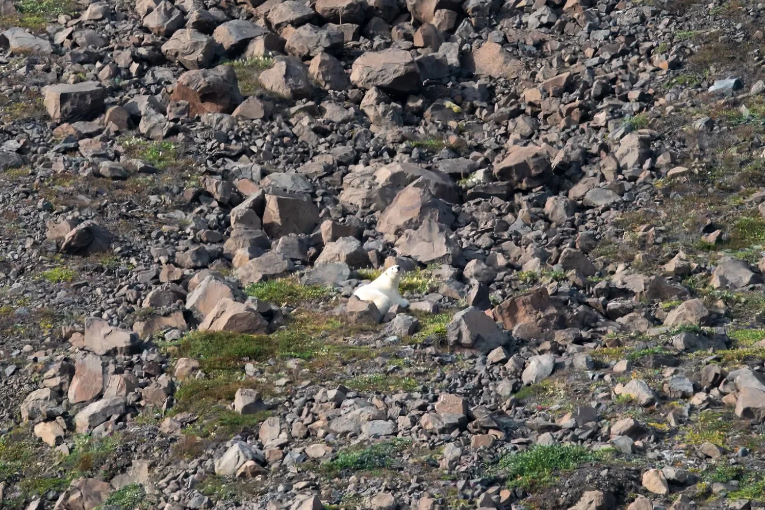
Polar bear!
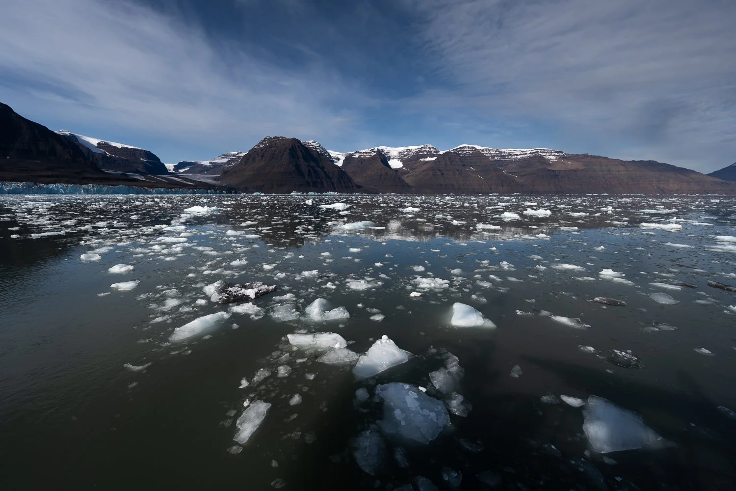
The ice field in front of the glacier.
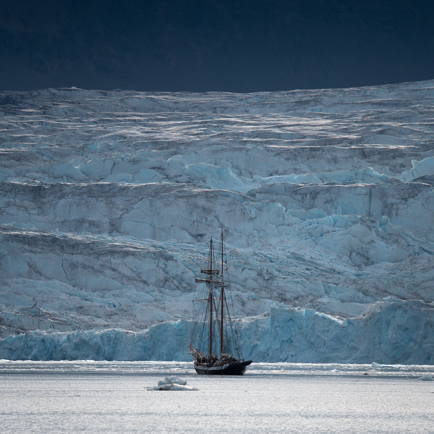
Opal in front of Brede Glacier
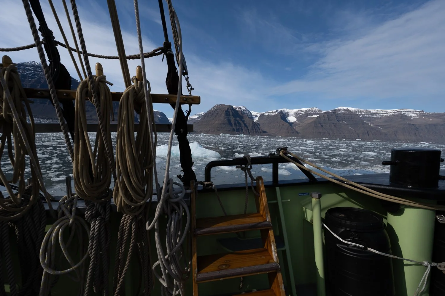
The ship in front of Brede Glacier
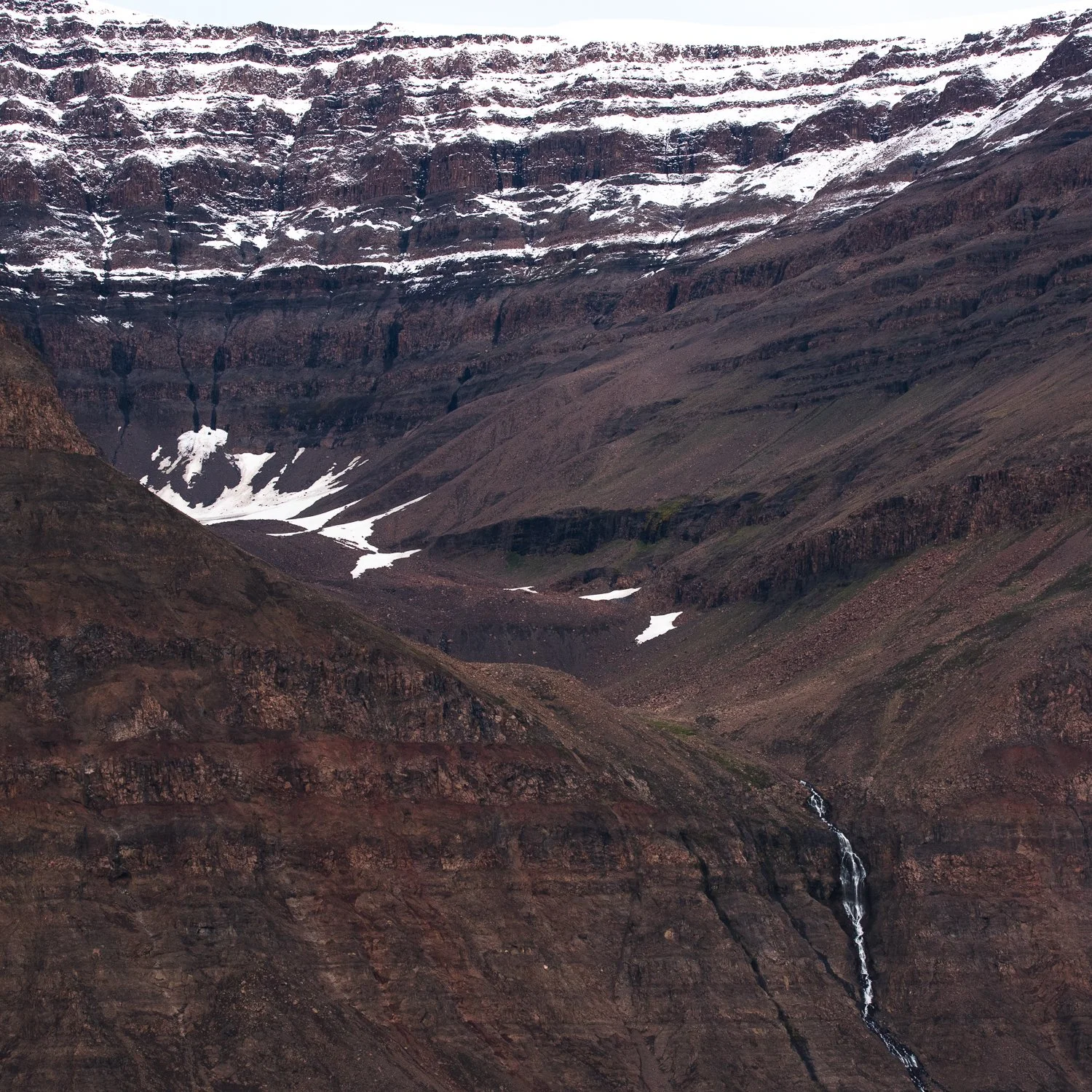
The textures of Greenland - the hills above the glacier
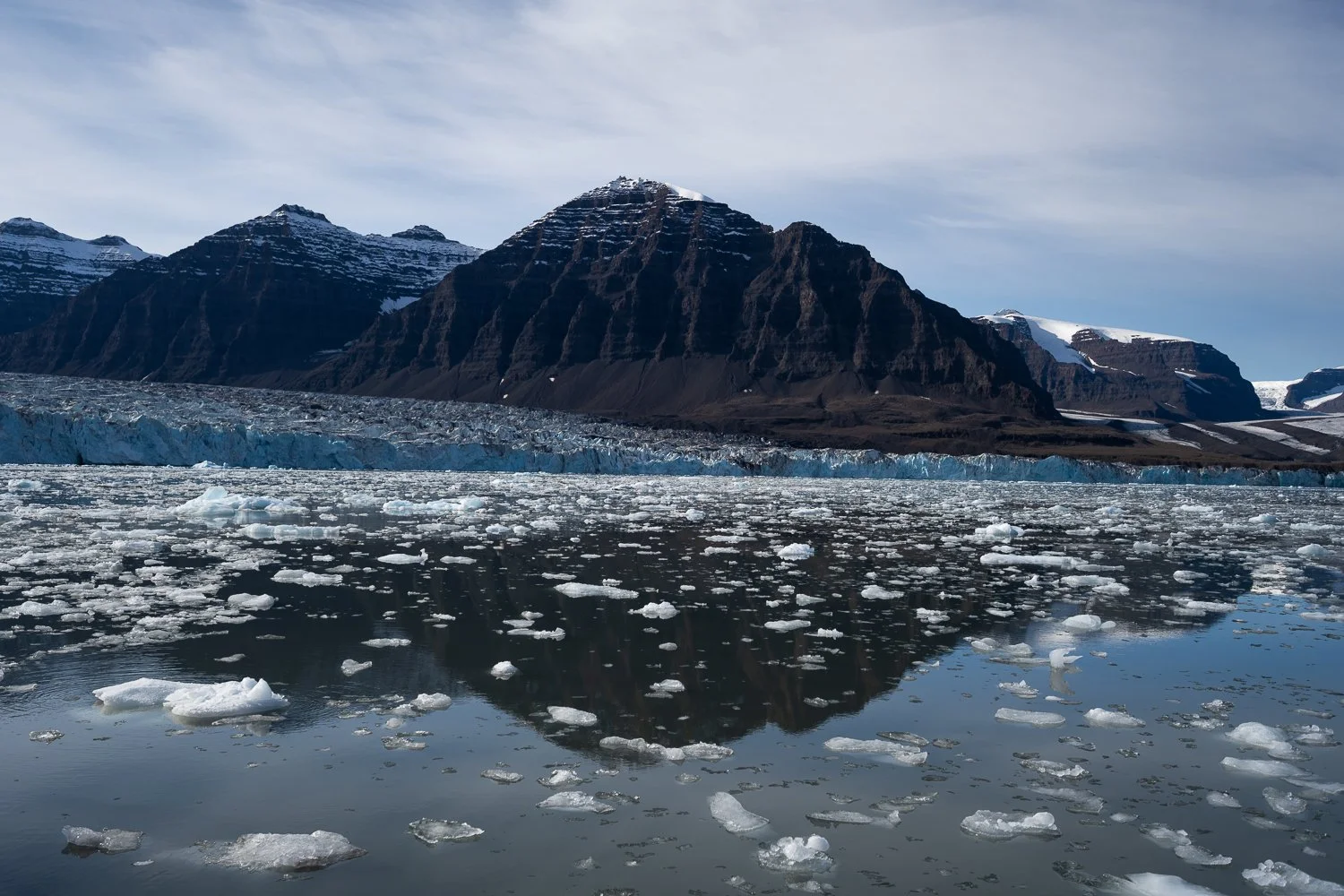
Brede Glacier and the ice it has calved.
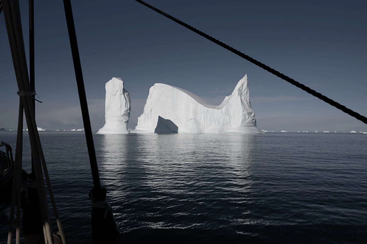
Icebergs in amazing shapes!
That evening, I flew the drone again once we had anchored in Charcot Havn, this time catching three fingers in the propellers, cutting my finger and drawing blood. At that point I was tempted to give up on the drone, but Gerlé encouraged me to try landing it on the boat instead of catching it, saying he'd seen many people do it that way. That worked much better for me and saved my fingers the rest of the trip! The evening light in Charcot Havn was soft and beautiful and the ship looked lovely in that light.
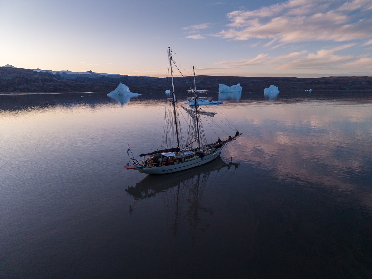
Ocean Sherpa in Charcot Havn in the late evening light
Day 4
Charcot Havn - Bear Islands
We lifted anchor around 9:30 a.m. and left Charcot Havn, bound for the Bear Islands (at 71°04' N, the furthest north we would reach on our trip). This was the day we started to see massive icebergs – some over 100m tall.
Scoresby Sound is not well charted, so any time we ventured somewhere new, Gerlé had to take soundings to make sure we wouldn’t run aground. We had to do this as we navigated through the Bear Islands to that nights’ anchorage. Ben drove the zodiac ahead of us and called back the depth of the water in metres as we slowly edged through an amazing landscape of jagged peaks and islands.
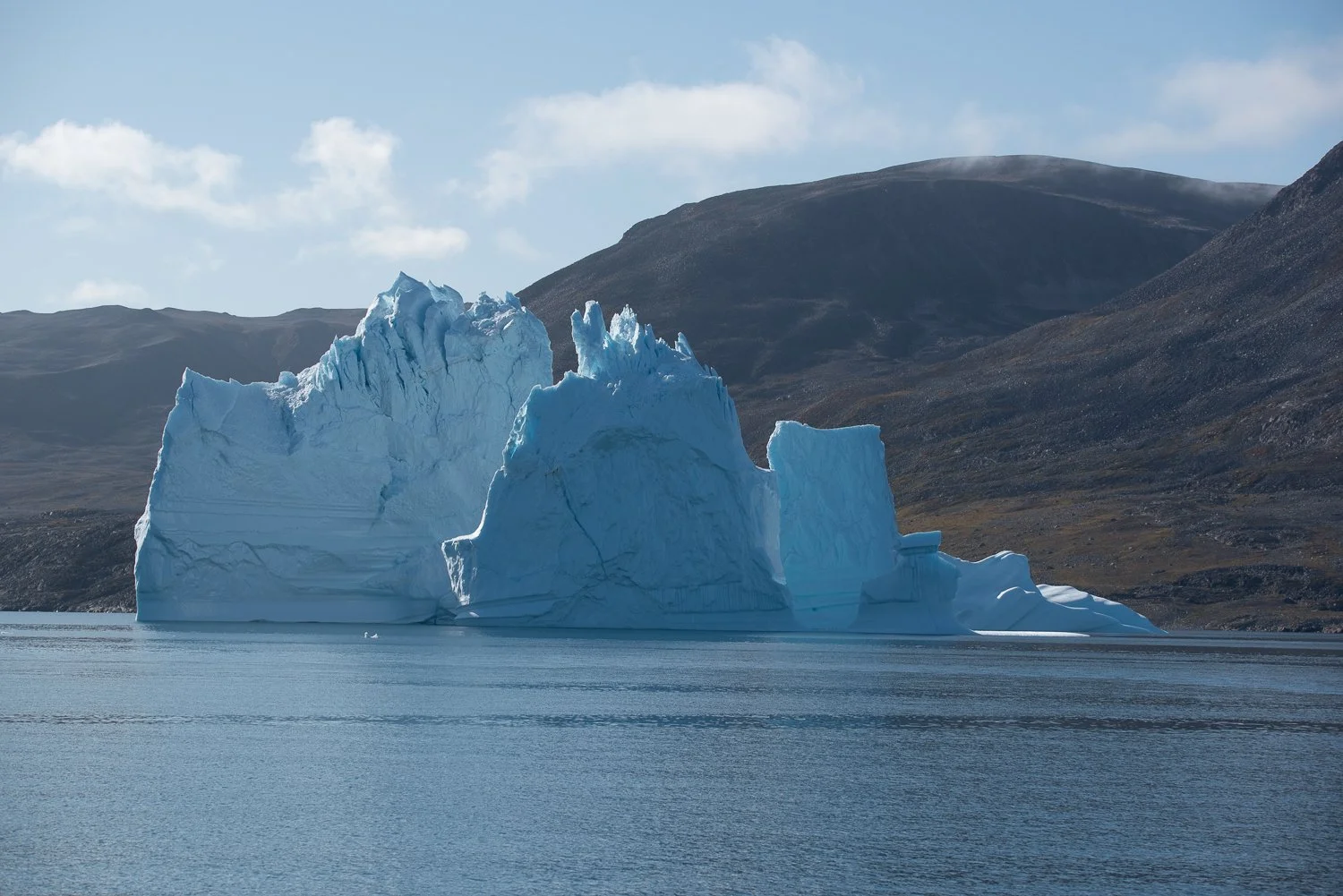
Beautiful iceberg shapes
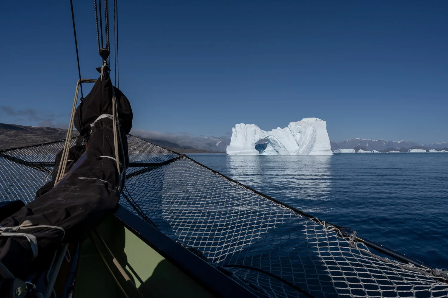
A dramatic iceberg, seen from the bow of the ship
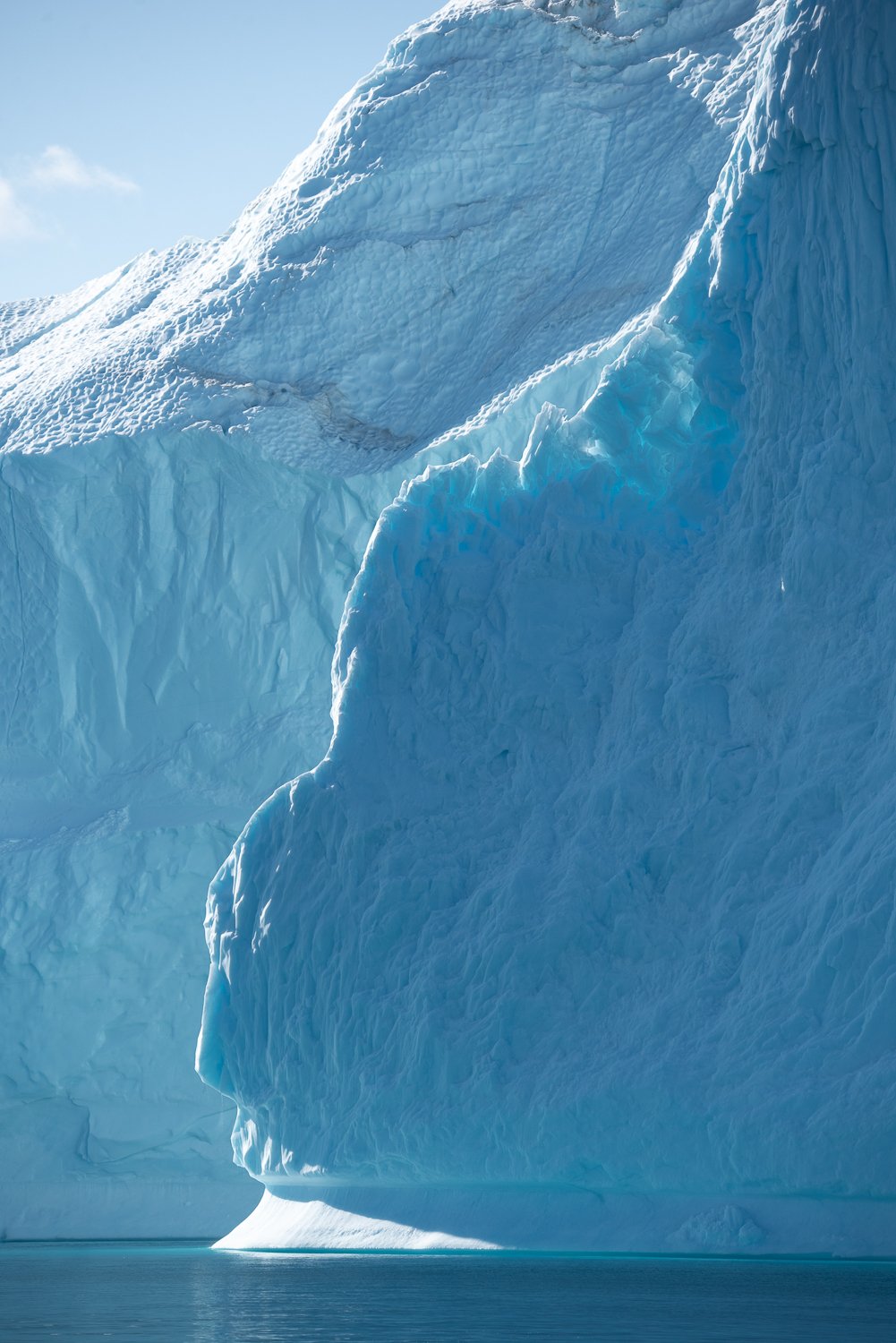
The glow of light through the ice
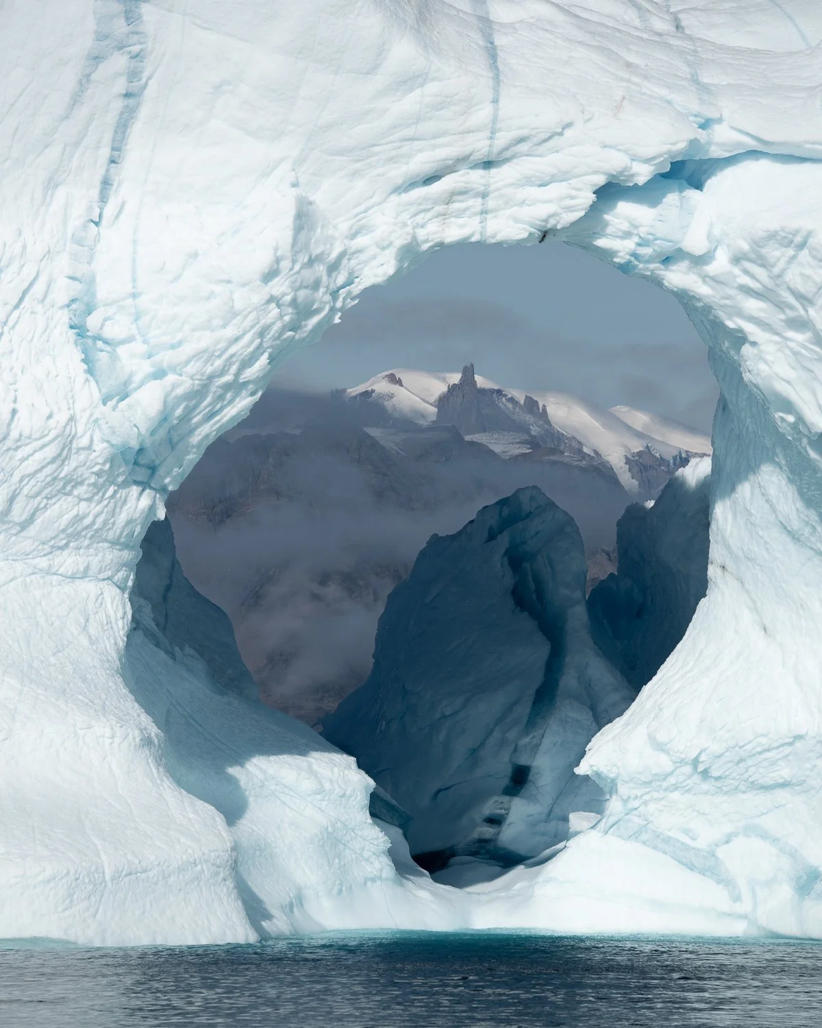
Drama: craggy peaks and massive icebergs
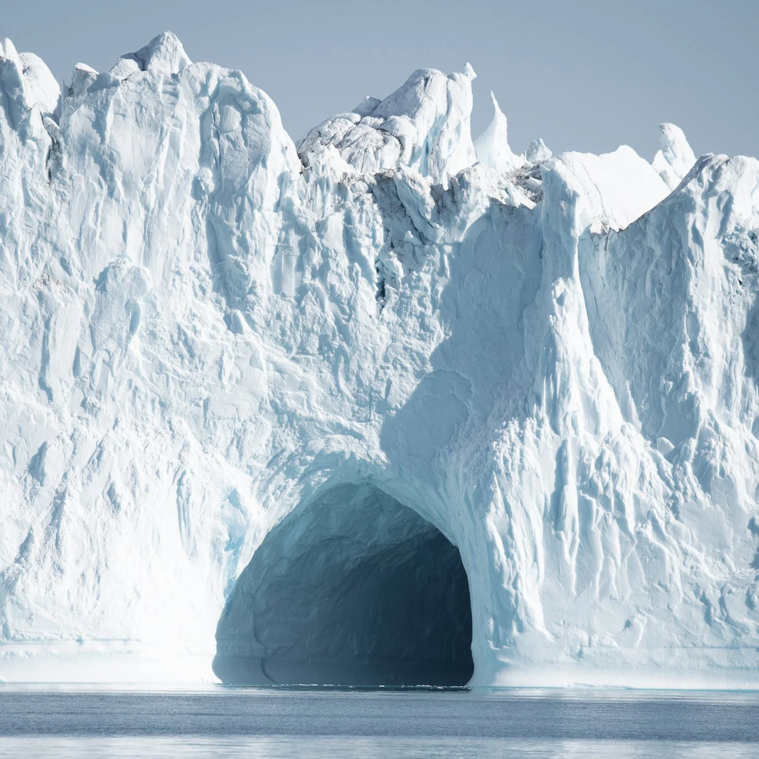
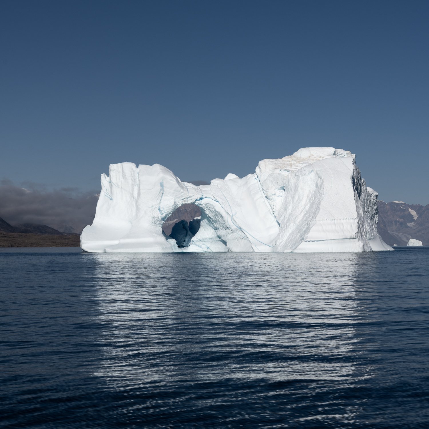
This is probably a glacial cave, created by rivers running through the glacier that calved this iceberg.
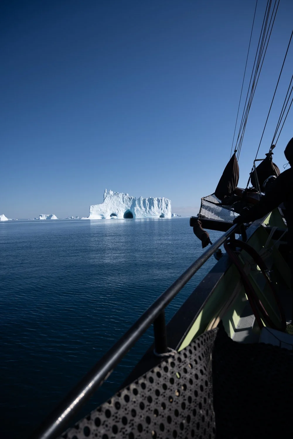
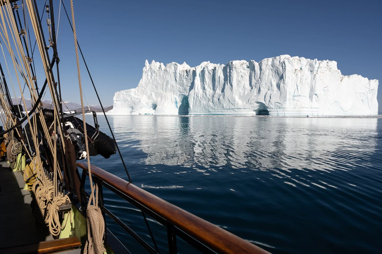
We were heading to meetup with a group of climbers who had just completed only the fourth successful ascent of Grundtvigskirken, a 1,977m peak with a 1,350m rock face. They had hired the sailboat Nanook to take them and their supplies from Iceland and to support them on their attempt on the mountain. The boat is owned by Mads and Tobias, Danes who have lived in Greenland for years. When we arrived and tied up against a rock face together with Nanook, they told us the amazing story of the ascent on a new route and the storm that hit the party as they approached the summit after 72 hours of climbing. One of the climbers downplayed it, saying that they had only been “slight hypothermic”, but it sounded harrowing. We spent a very pleasant evening hearing their stories about the climb and Mads and Tobias’ views about making their lives in Greenland.
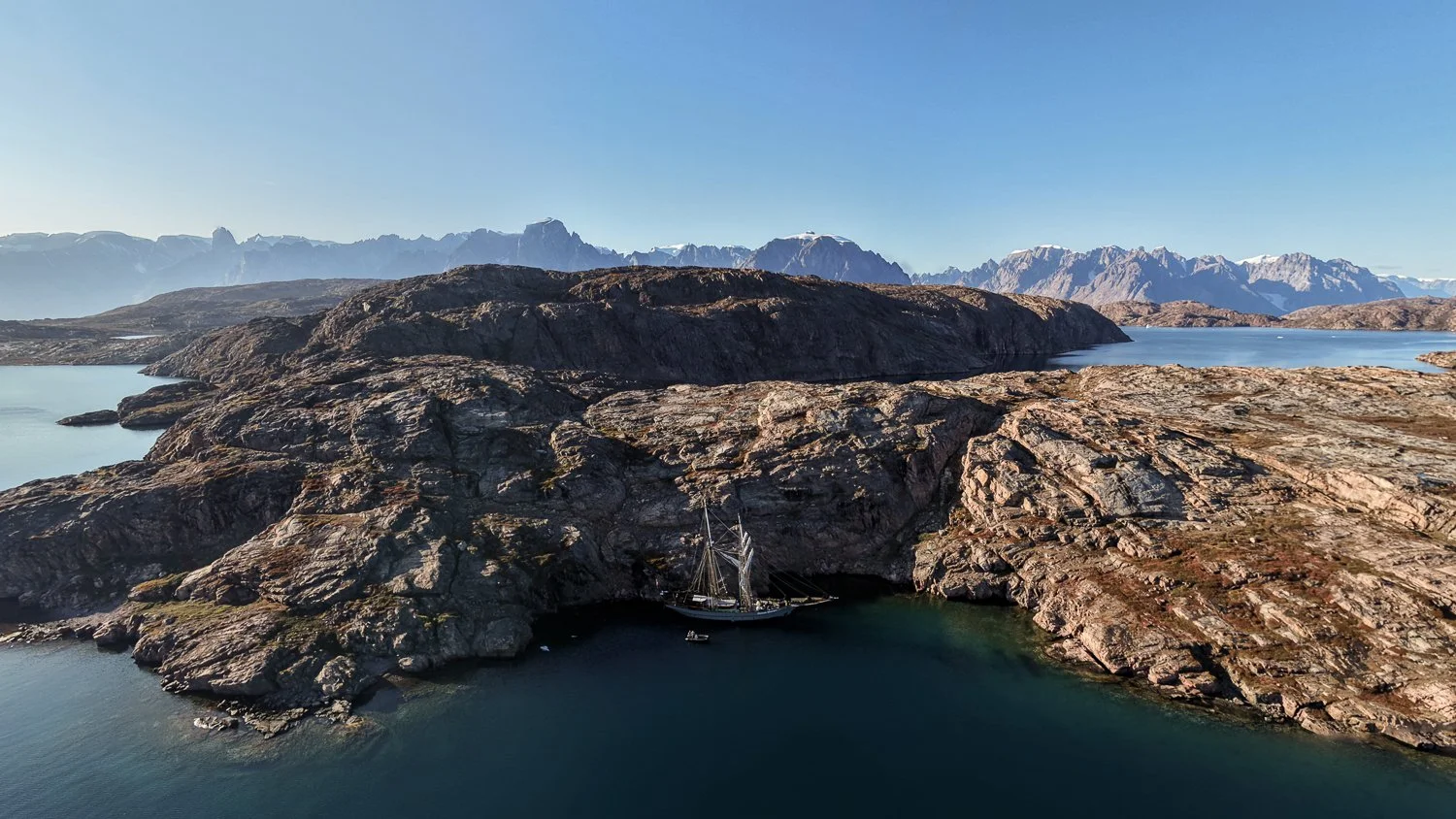
Our anchorage in the Bear Islands. At that moment Nanook was was motoring to join us.
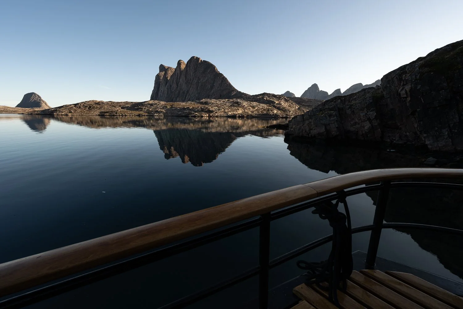
Our view from the stern over the Bear Islands. The climbing team, with a week left in their trip after their ascent of Grundtvigskirken, were anchored in this cove to attempt a new route up the mountain in this image “for fun”.
For a few days there were some electrical issues on the Ocean Sherpa, and that day the dishwasher finally stopped working, so the whole group helped wash, dry and put away the dishes – with lots of enthusiasm and teamwork. Ittoqqortoormiit is the only settlement in Scoresby Sound, so if anything onboard broke, the crew had to try and fix it on their own - there were no electricians to call and no new parts to buy - and if it couldn’t be fixed, another solution had to be found. After cleanup Gerlé let us know that a captain of a nearby ship had contacted him to tell him that we might be able to see the Northern Lights that night. We excitedly planned to be outside around 11pm, though I had doubts we would see anything: this far north in late August, there is no complete darkness and we had a full moon that night! Nevertheless, we did see the Northern Lights! It wasn’t a huge, spectacular show but it was amazing to see anything under those conditions.
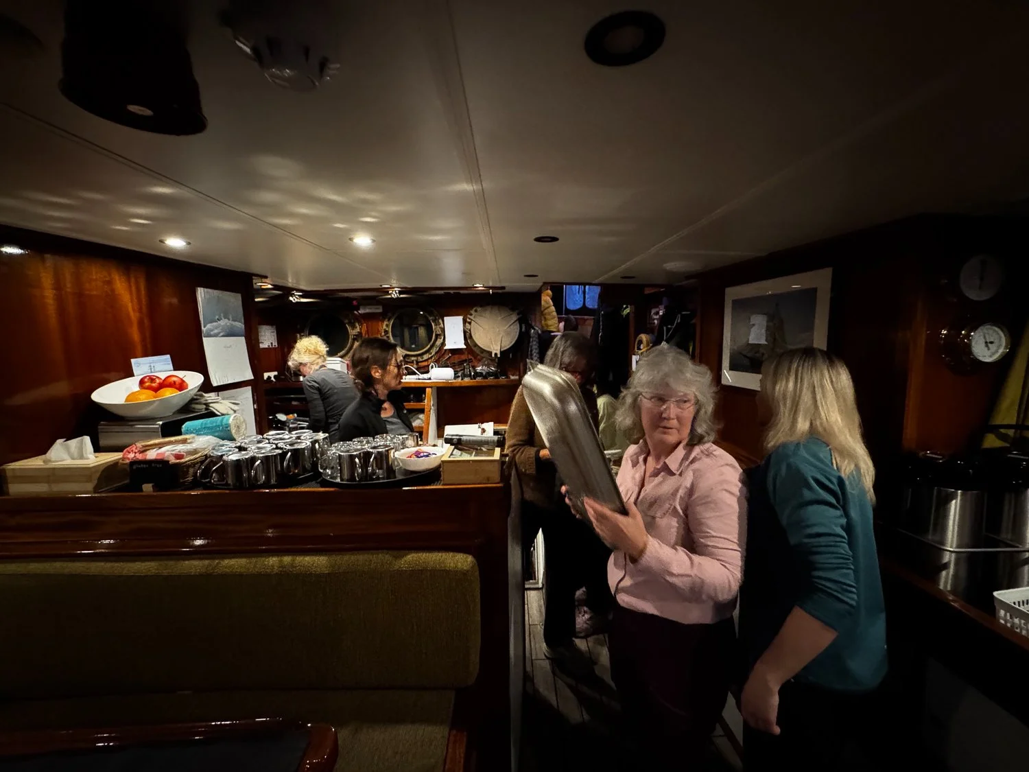
Teamwork with the dishes
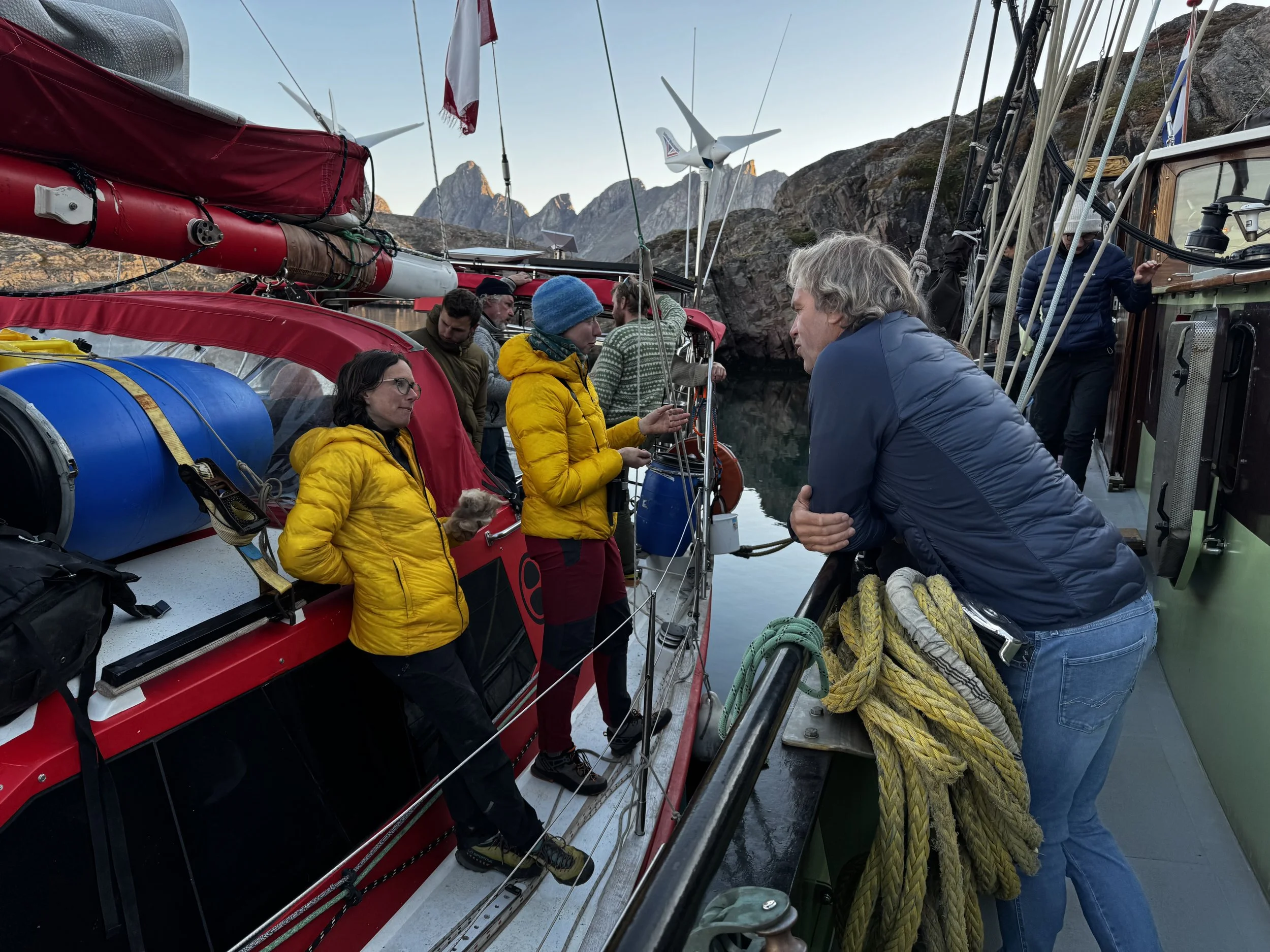
Chatting with the climbers when we were tied up together.
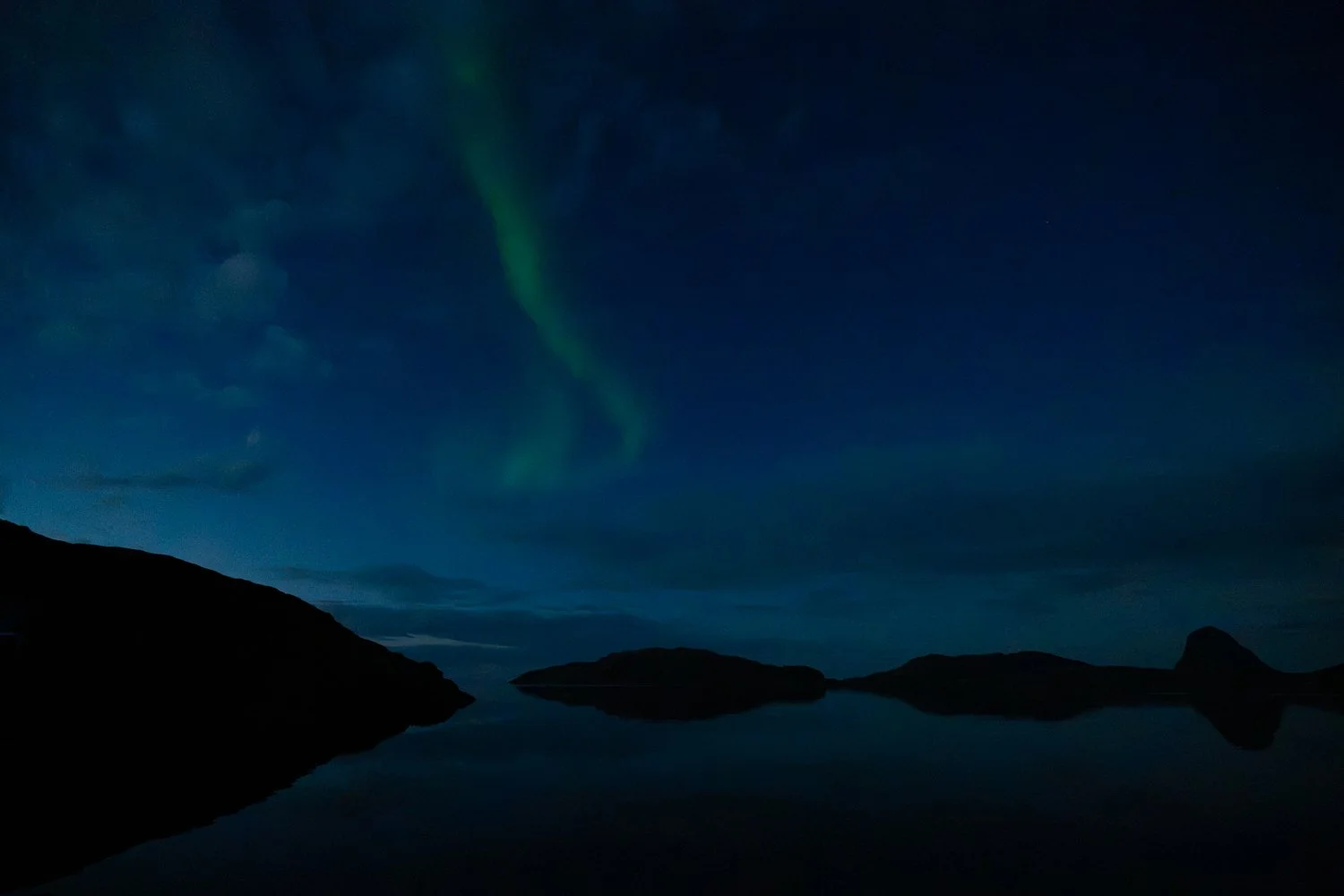
Northern Lights!
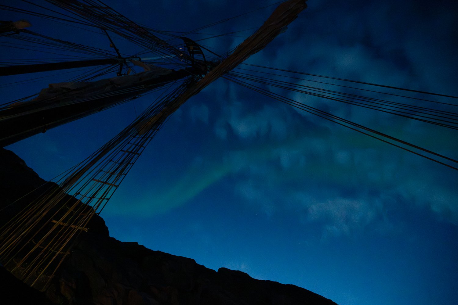
Northern Lights above the mast.
Day 5
Bear Islands - Red Island
We woke up to clear blue skies (as we had on almost every day of the trip) and morning light on the mountains of the Bear Islands. As we headed into the Ordfjord (the large fjord on the north side of Milne Land – the island we were circumnavigating) the winds picked up to 31 knots (Force 7) giving us another bumpy ride, but not as bad as the day we left Ittoqqortoormiit. Lunch was eaten on a slant, as the ship tilted to one side in the wind.
As we neared Red Island, we found Opal and Hildur waiting for us. Since the Ocean Sherpa has a steel hull and they have much more vulnerable wooden hulls, they wanted us to lead them through the growlers and bergy bits in the channel to Red Island. We didn’t know if it was there, or in Ordfjord (which was filled with a fair amount of ice, too) that we hit a chunk of ice that caused a hairline crack in our hull. Gerlé said the ice must have hit right on a seam and though water was getting in, it was only a little and he would get the hull fixed in Norway at the end of the season.
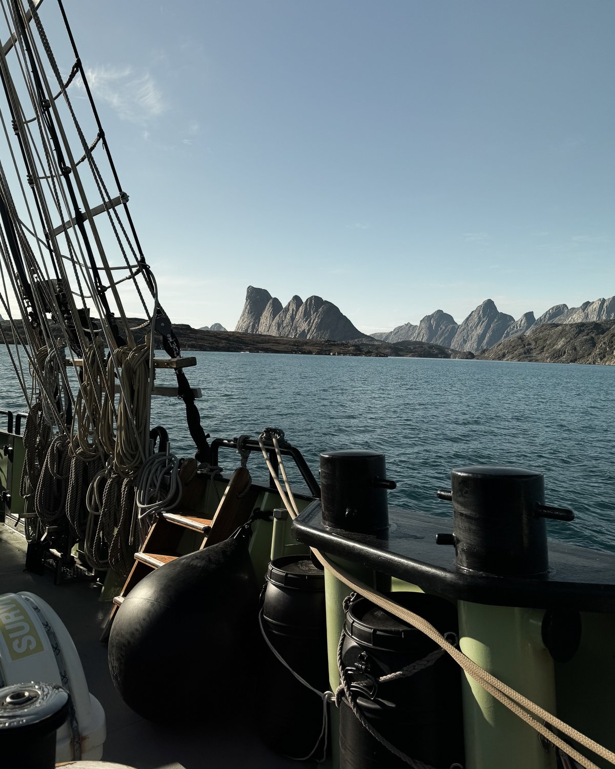
Leaving the Bear Islands
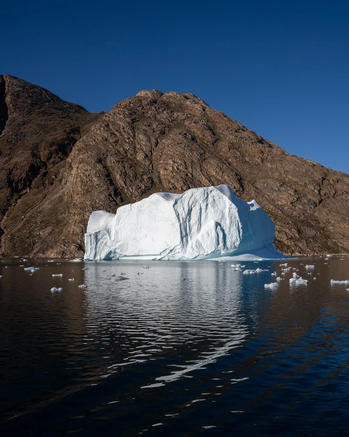
Iceberg against mountains that line many of the fjords
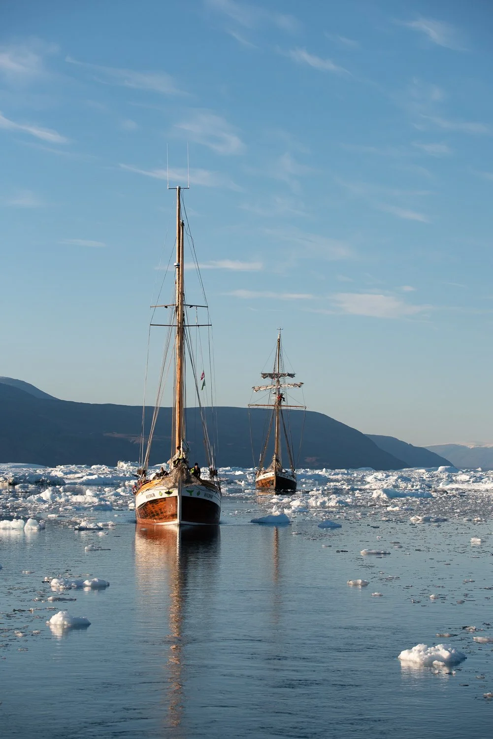
Looking backwards as we led Opal and Hildur through the ice.
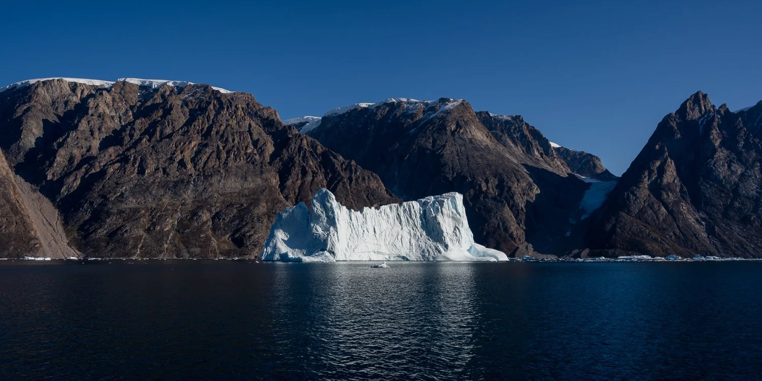
Such rugged scenery!
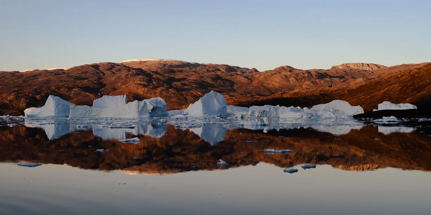
Sailing through the iceberg graveyard just before sunset.
After 10 hours of travel from the Bear Islands, we anchored near Red Island and took the zodiacs out to visit the iceberg graveyard: an area of shallow water where numerous icebergs were stranded. As the day had been longer than anticipated, we headed out just before sunset at 9:30 and that meant that we entered the graveyard in the most beautiful soft evening light. The 45 minutes we spent in the iceberg graveyard were undeniably the highlight (photographically and otherwise) of the trip for me: massive icebergs stranded in still water with perfect reflections and gorgeous evening light. There were shots in every direction, and I was in heaven trying to make compositions as we motored past mountains of ice. Shooting at 6400 or even 12800 ISO to get sharp images, I was just praying that some of the shots conveyed the magic of being there.
That night we had another Northern Lights show, though much less significant than the night before, so we were all in bed by midnight.
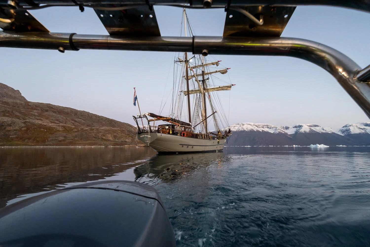
Leaving Ocean Sherpa by zodiac to go explore the iceberg graveyard.
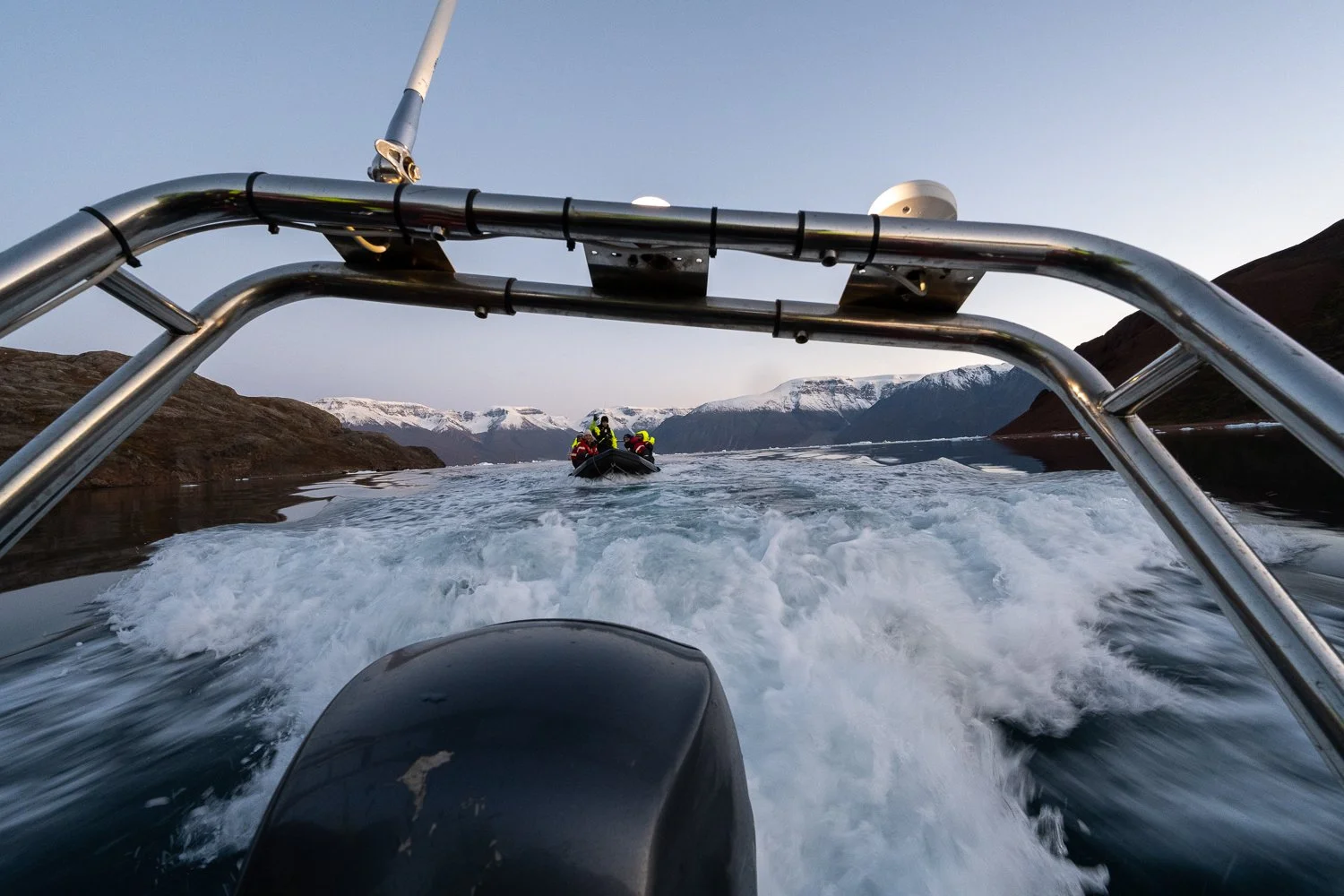
Zodiac convoy!
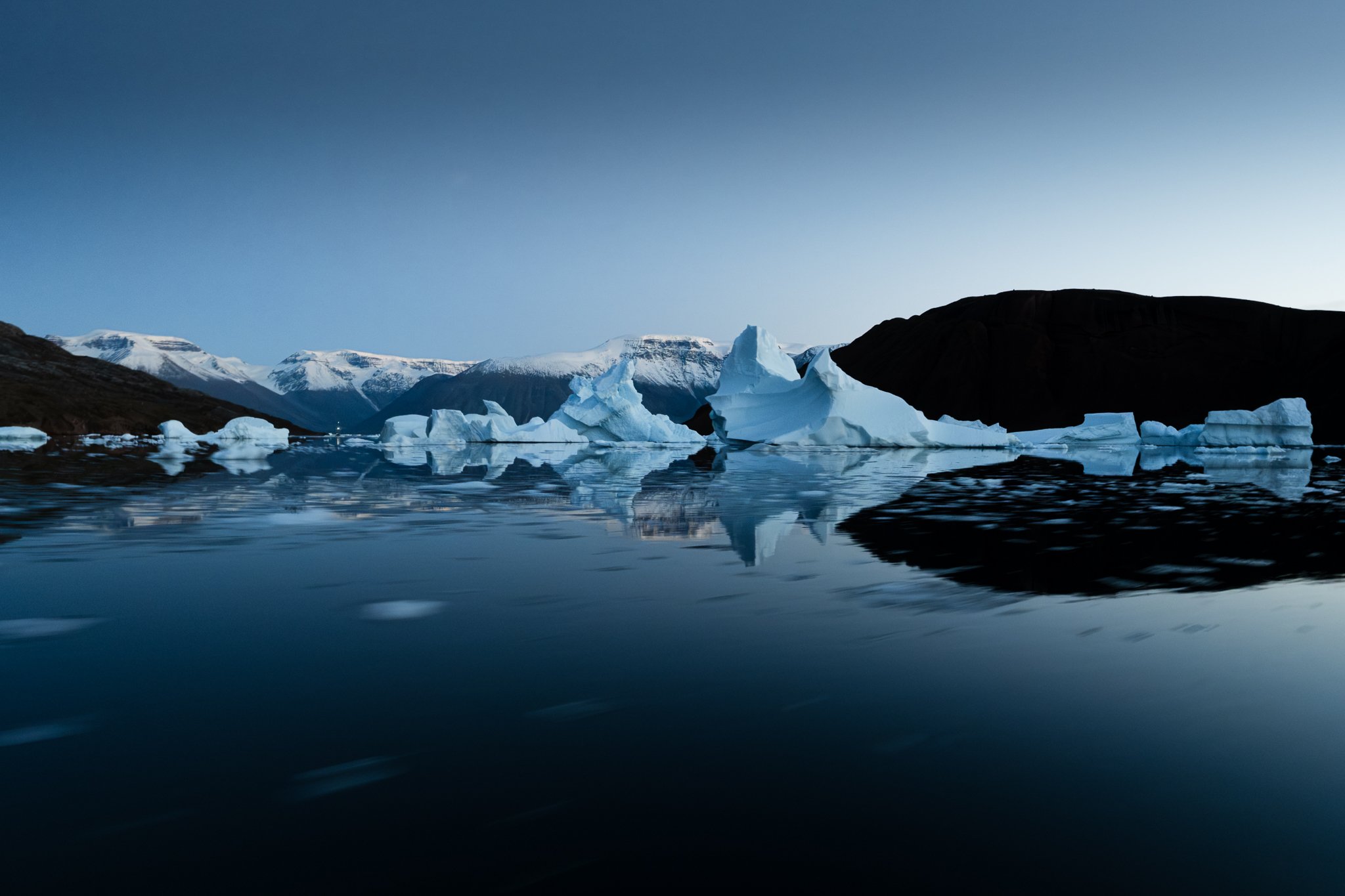
Iceberg graveyard after sunset
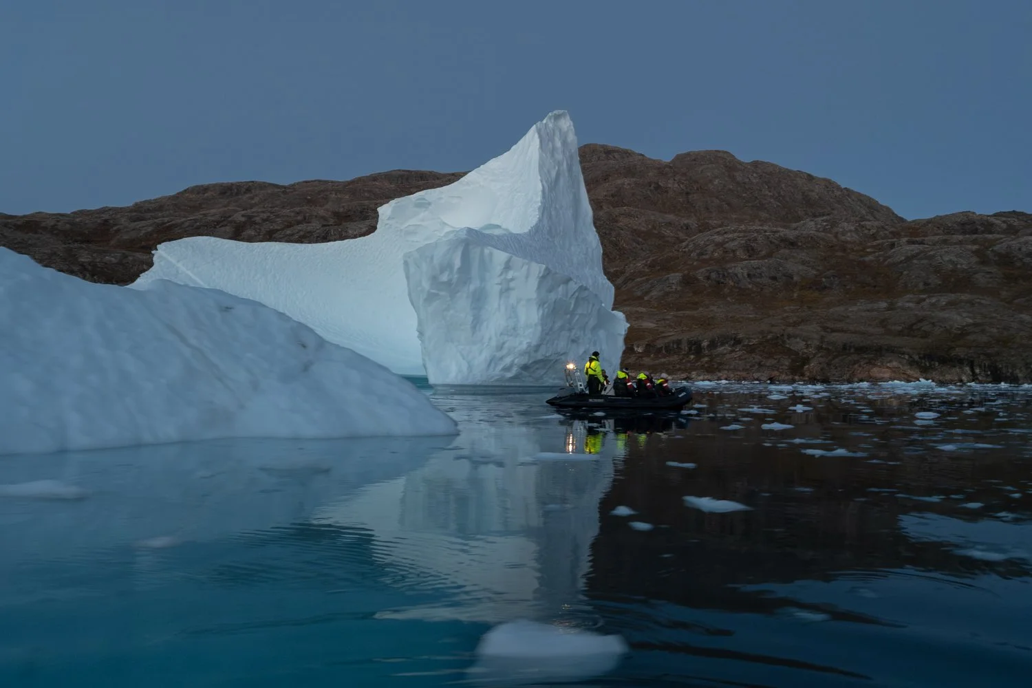
Our companion zodiac, piloted by Levi.
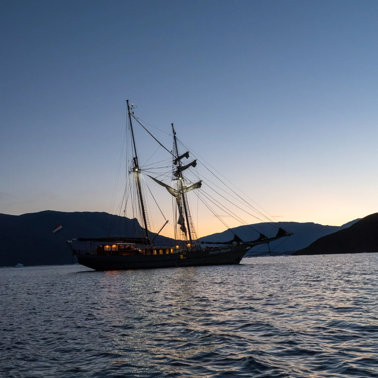
Back at the Ocean Sherpa after 10 p.m.
Day 6
Red Island - Vikingebugt
In the morning we took the zodiacs and landed on Red Island (which is composed of a lovely rust-coloured red sandstone), overlooking the iceberg graveyard. We got to walk around and see the amazing collection of icebergs from a high vantage point. I flew the drone twice. The first time I was behind the group and knew they were moving on, so after I hand caught the drone I turned around to see how far away they were, only to find everyone was right behind me, clapping, congratulating me on my landing and taking my picture like a group of paparazzi!
As we left Red Island, we led Opal and Hildur through Føhnfjord in case of ice, but there was actually much less here than there had been leading into the iceberg graveyard. We put up the sails for the second time on the trip. The ship looks so majestic with even some of its sails up and there is a beautiful silence when sailing.
Stefan, another passenger on Ocean Sherpa, was also flying a drone. He was a real expert, having flown for years and even filmed drone footage for feature films. I leant on him for advice and he, and his lovely wife Birgit, were incredibly supportive (as was the whole group) and helpful to me. On our trip through Føhnfjordm, though, he lost his drone into the water when a gust of wind crashed it into the ship on takeoff. Flying drones from a moving boat over deep water is so risky, even for experts.
After a long day, we arrived in back in Vikingebugt, where we’d anchored on the night of Day 2.
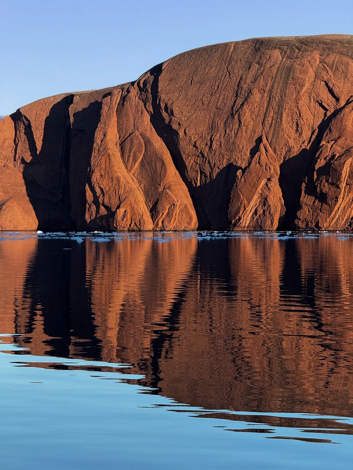
Red Island in the early morning light
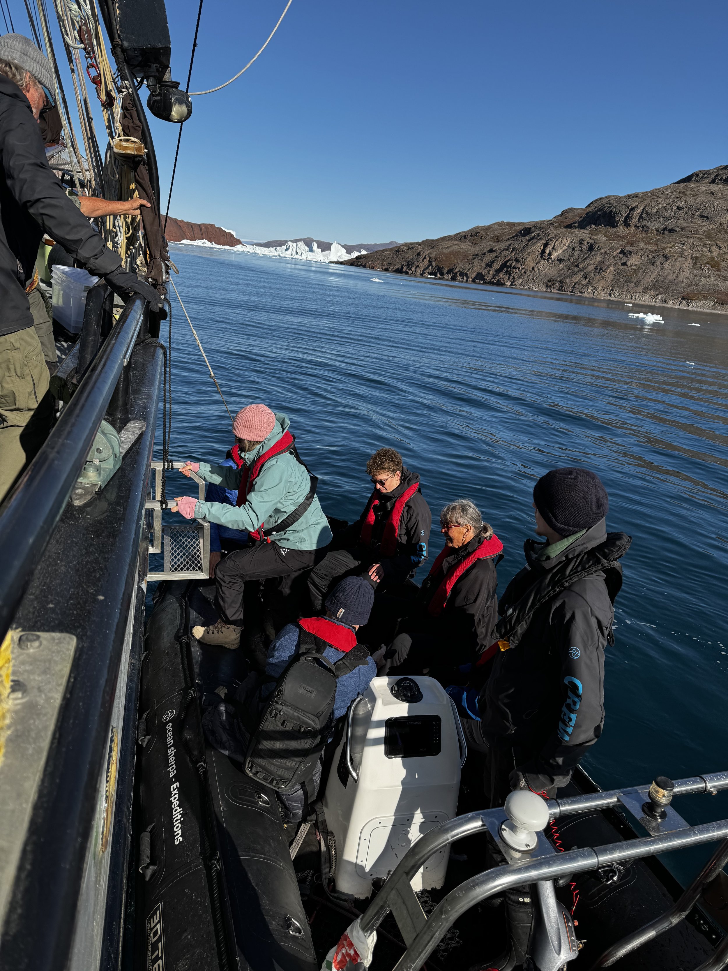
Getting from the zodiac to the ship.
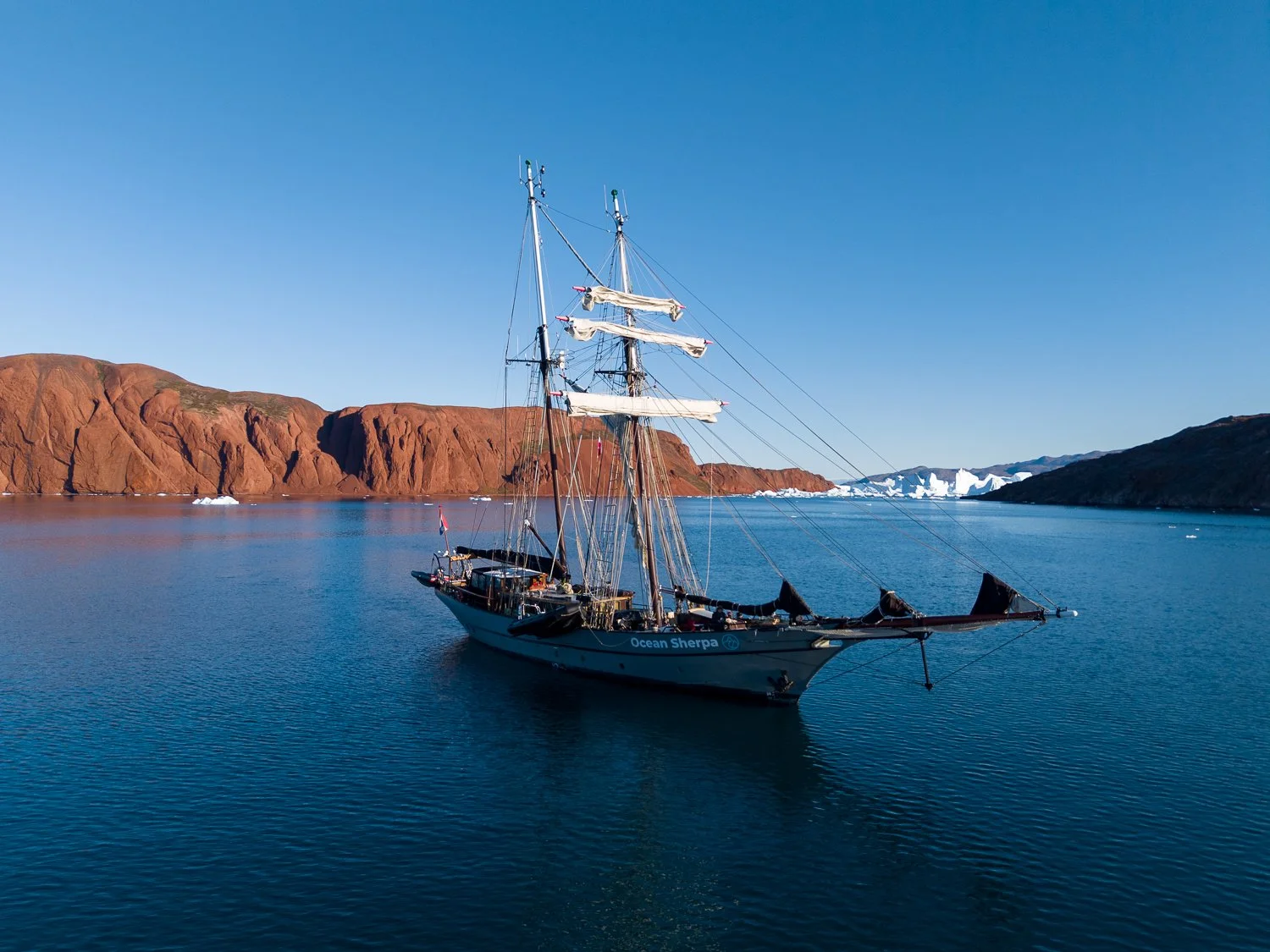
Ocean Sherpa with the iceberg graveyard in the background
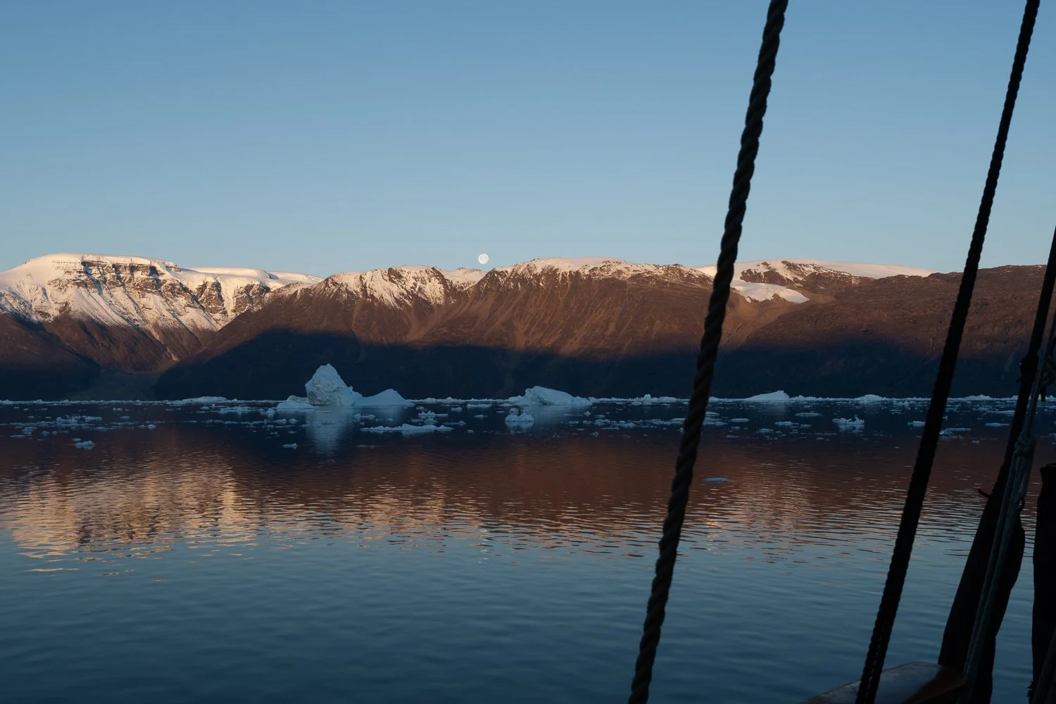
Early morning moonset
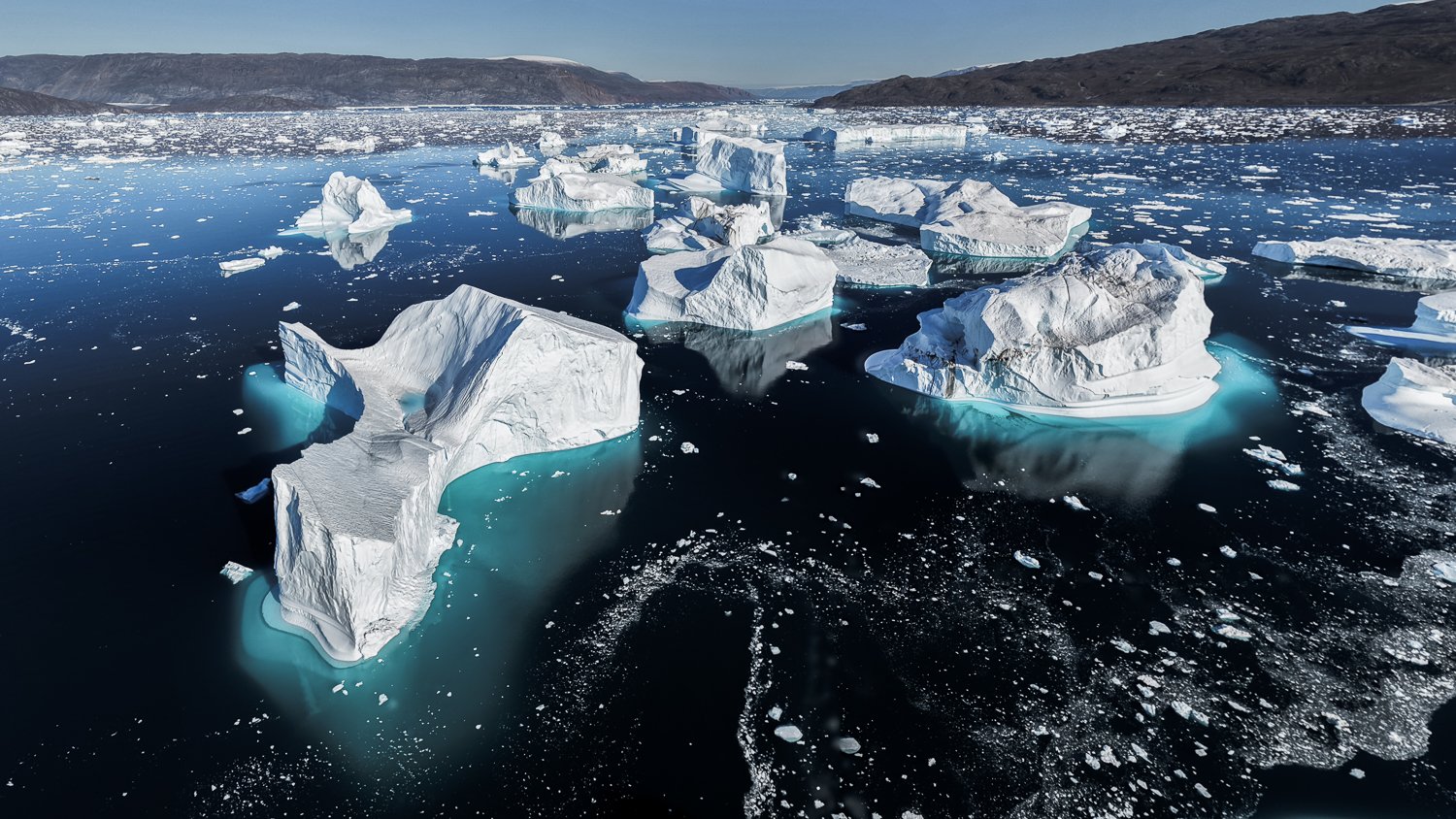
Iceberg graveyard from the drone
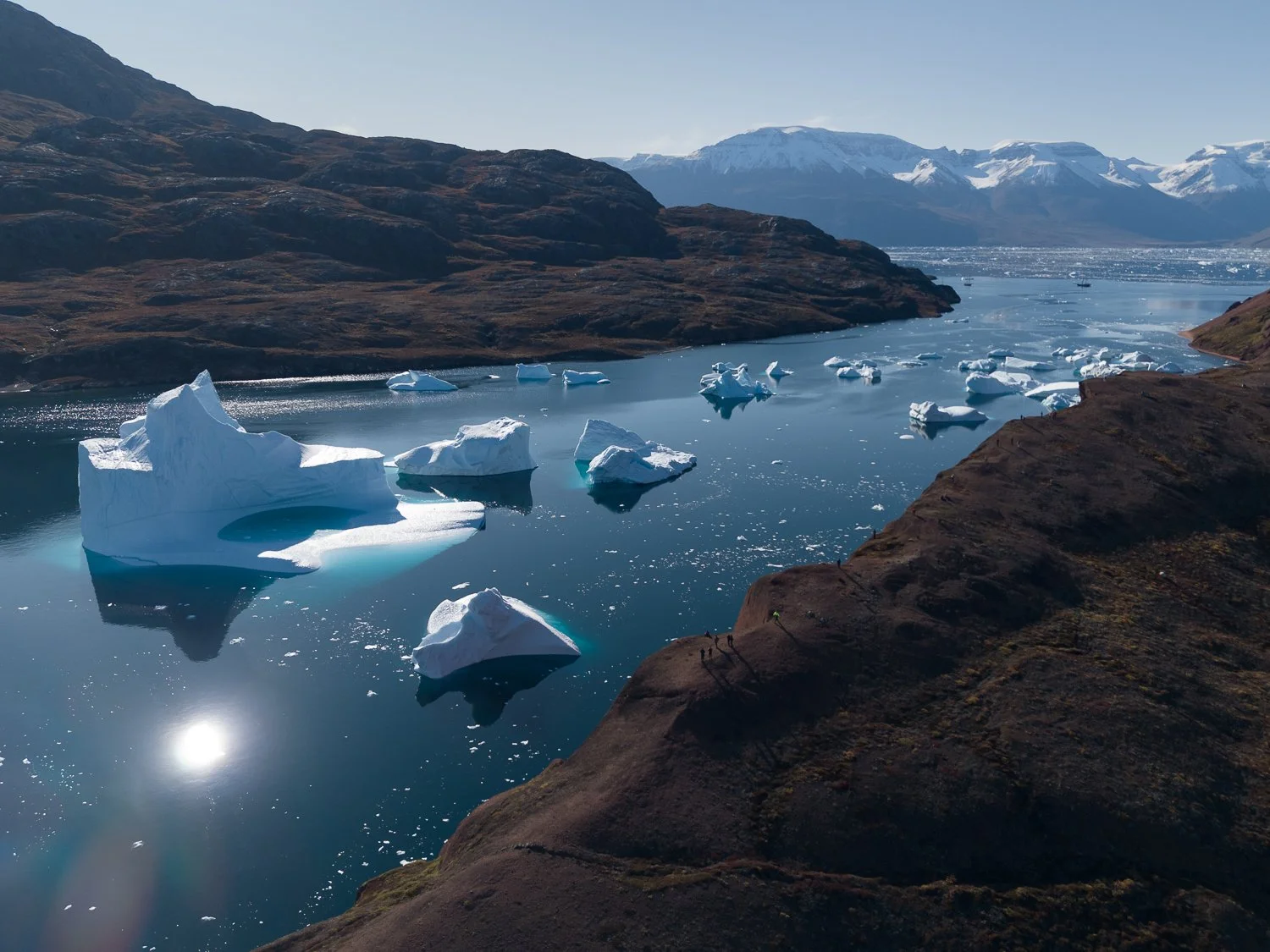
Iceberg graveyard with the ships barely visible in the background. The little dots on the shore with the long shadows are us!
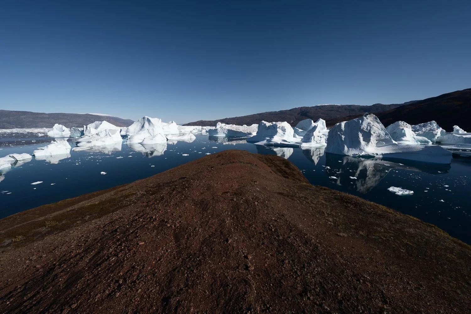
Red Island and the iceberg graveyard
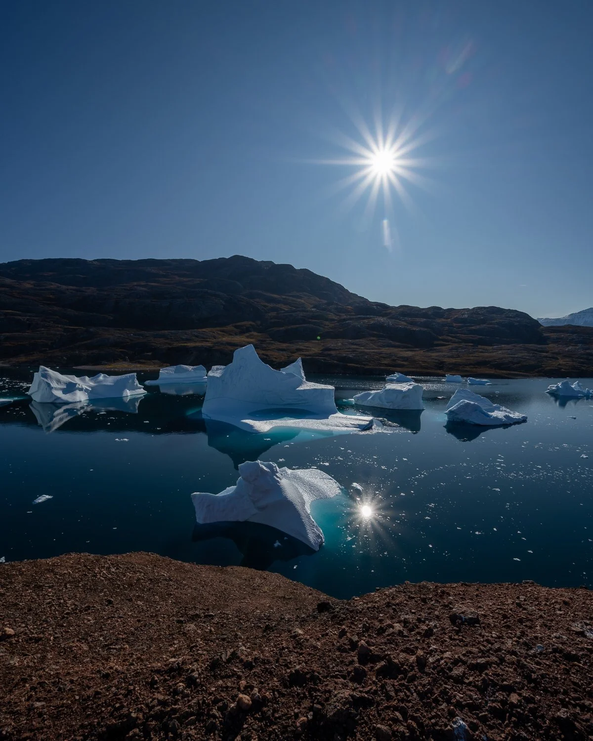
Here it looks like I’m standing on a a beach, but I’m actually standing at the edge of the cliff you can see in the next picture.
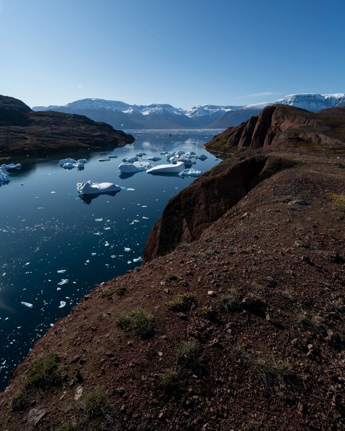
From Red Island. You can see Ocean Sherpa and Opal (two dots in the water) in the background
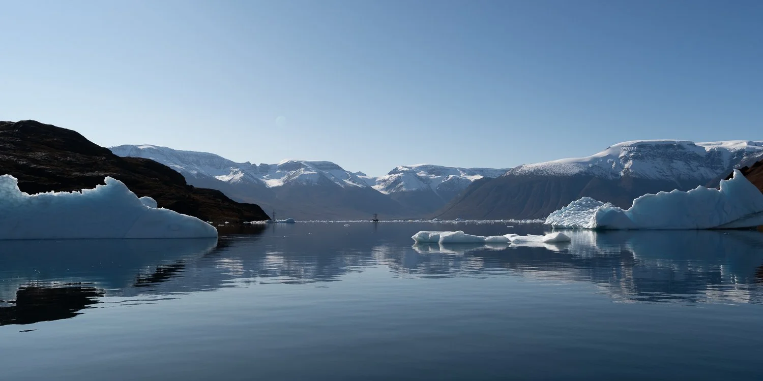
Heading back to the ship. This picture was taken from the zodiac.
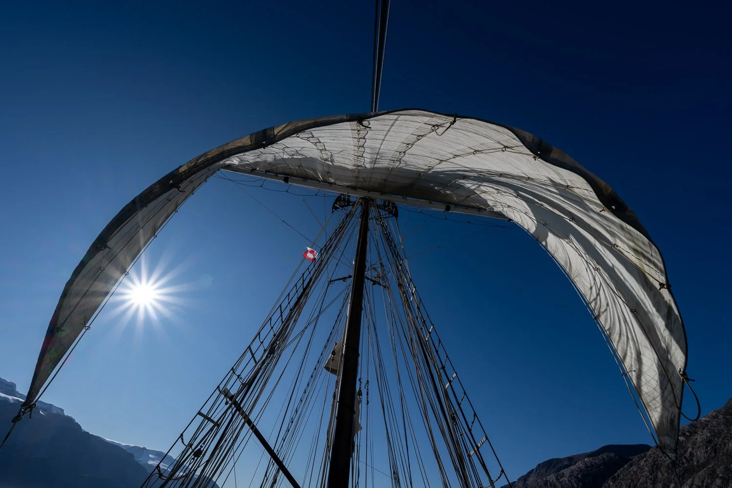
Sails up in the Føhnfjordm,
Day 7/8 and Iceland
Vikingebugt - Constable Point - Reykjavík
We started our trip back to Constable Point early, with the anchor coming up around 6:20am. While we had been sheltered in Vikingebugt, the winds pick up once we exited making for a chilly journey. Our goal was to stop at Sol Glacier, which hangs dramatically over a 1,600 m tall rock face, before the long trip back to Constable Point. Sol Glacier was beautiful with its waterfalls and blue ice. It was so peaceful at the base of the glacier where we were sheltered from the wind, the ship almost still and silent.
We spend the rest of the day motoring back to Constable Point.
The next morning, we left Ocean Sherpa, waving goodbye to the crew, landed on shore and made the 25-minute walk up to the airport to wait for our flight back to Iceland. We had been in a cocoon on our lovely ship, with no internet and only ourselves to depend upon, but now we headed back to the real world.
I spent an extra day in Reykjavík (booked just in case we had issues getting out of Greenland), taking a few long walks to try and get my land legs back, resting and thinking about that amazing adventure aboard a beautiful ship in an incredibly remote and starkly beautiful place.
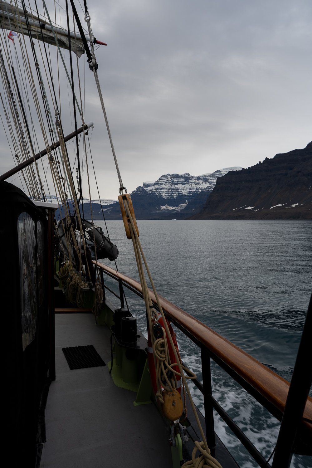
Approaching Sol Glacier
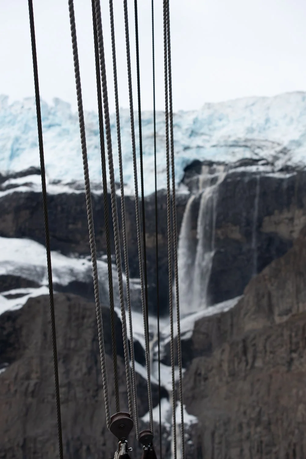
Waterfalls at Sol Glacier behind our rigging.
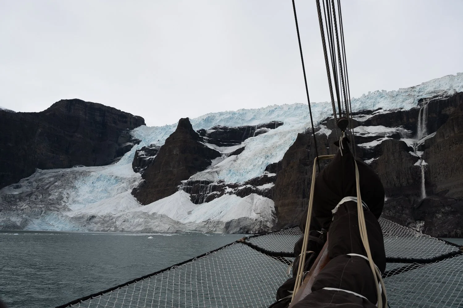
Sol Glacier
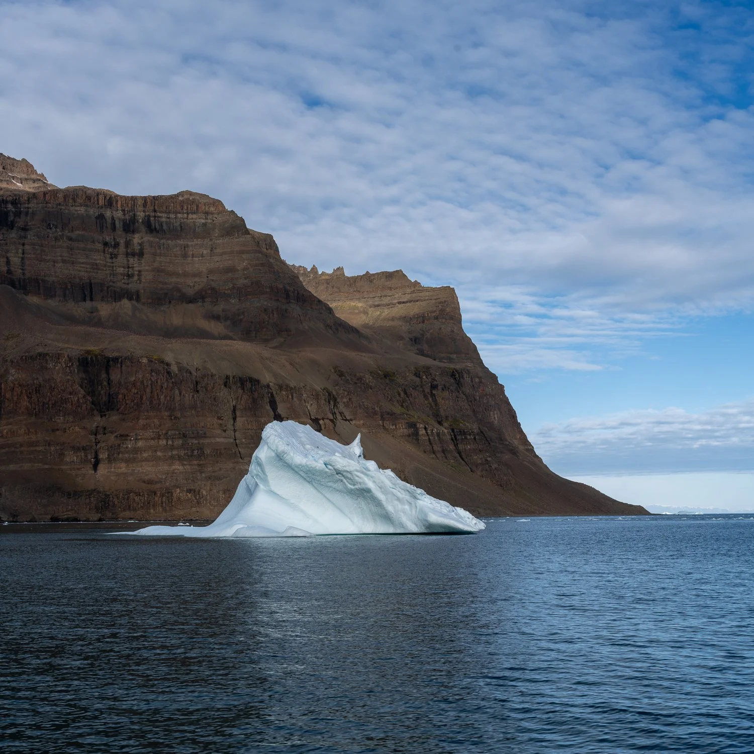
One of the last few icebergs we saw
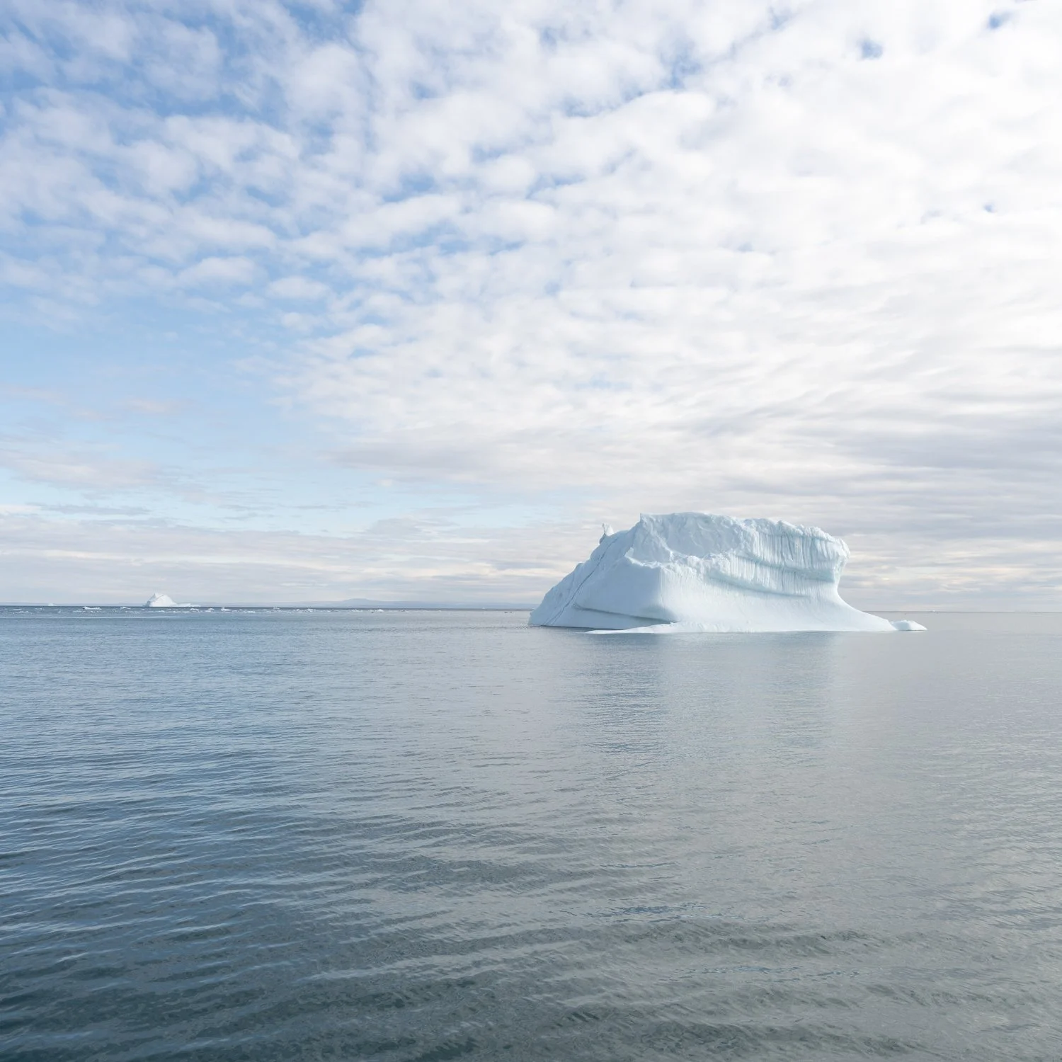
Our last iceberg
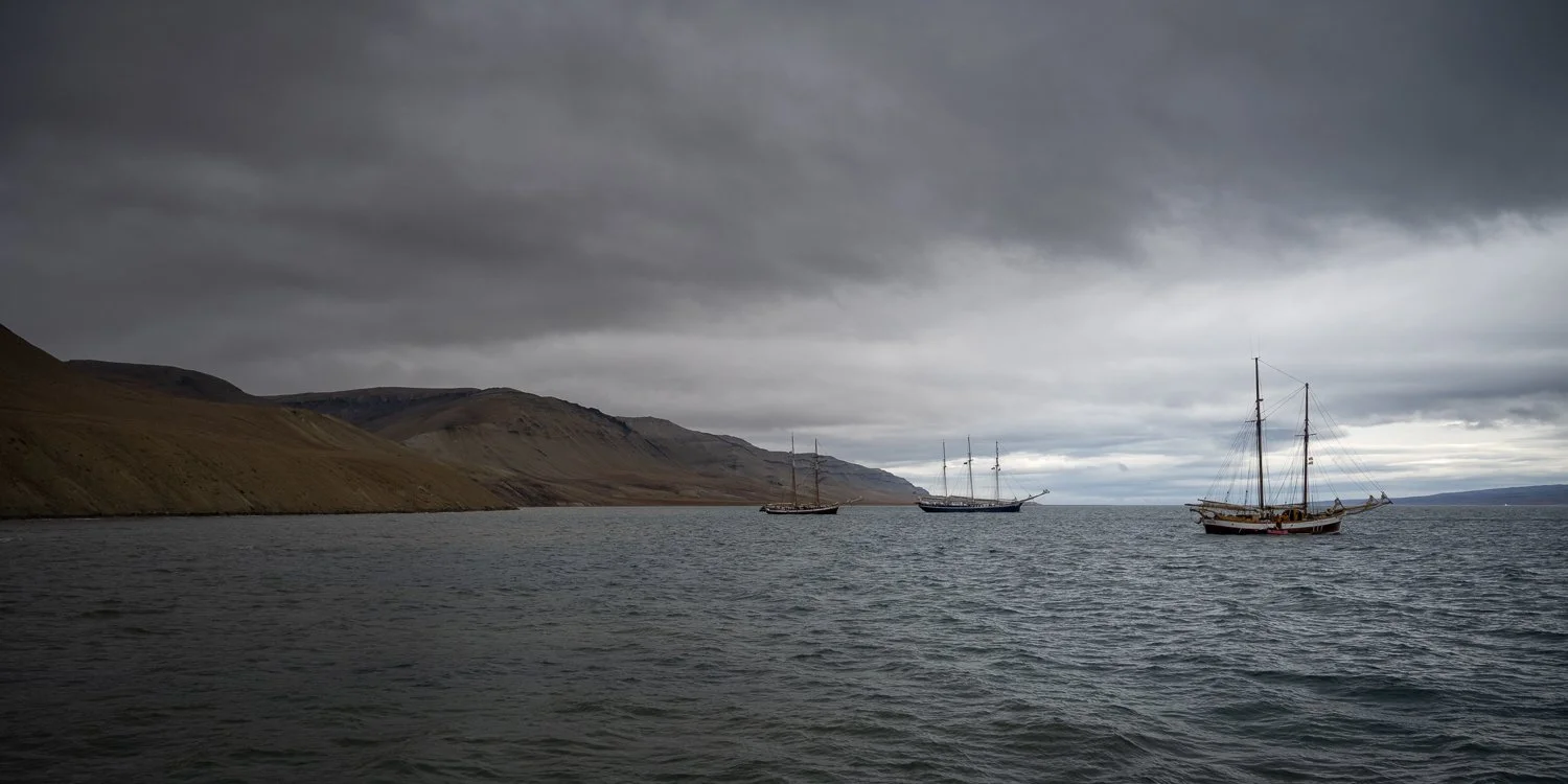
Anchored at Constable Point: Opal, Rembrandt van Rijn and Hildur
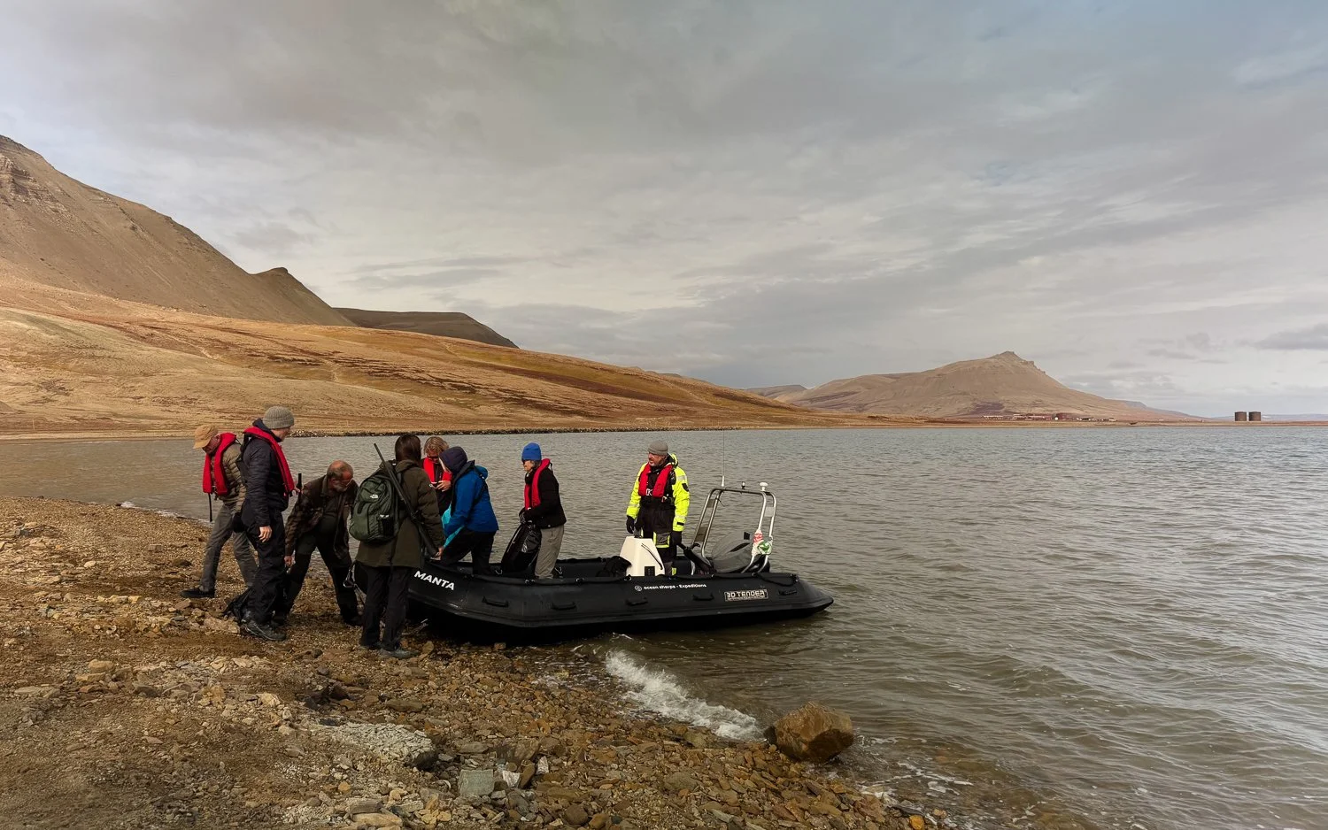
Landing at Constable Point - the landing strip and airport is in the background on the right.
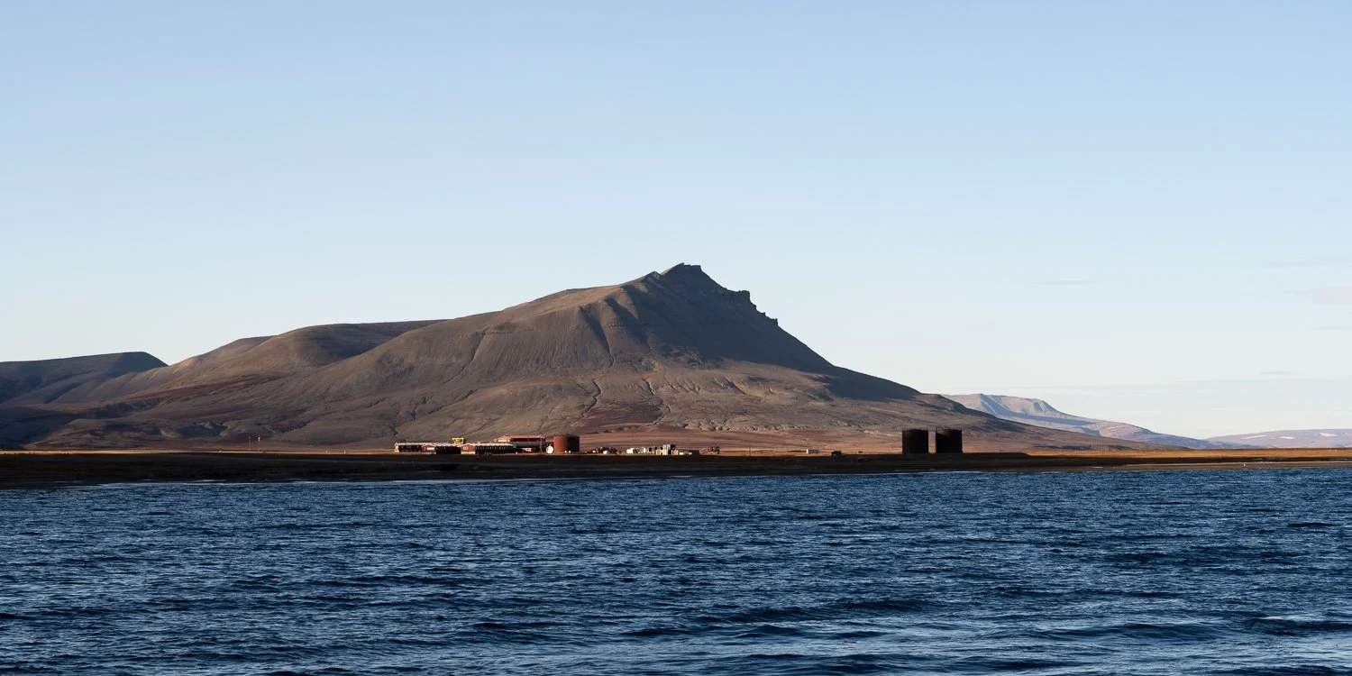
Constable Point/Nerlerit Inaat airport facility
Thanks to Mirjam, Kees, Peter, Stefan, Birgit, Barbara, Tobey, Elin, Federica and Ineta for being wonderful travel companions!
I’m working on the images from the trip and hoping to start showing those soon.
If you’d like to comment, please feel free to leave one below. You don’t need to make an account, just enter a name and click ‘comment as guest’.